
Drones & UAVs
Gather Data Safely and Efficiently From the Sky
Enhance Your Aerial Surveying Operation With Alaska’s Top Drones and UAVs
Drones and UAVs enable surveyors to gather data more quickly, safely, and accurately than on the foot. Discover the best drones, UAVs, and aerial surveying or drone mapping tools that are loaded with the industry’s most innovative and effective technology.
UAV & Drones
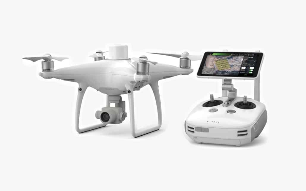
Phantom 4 RTK
A highly accurate drone with an RTK module that utilizes the new TimeSync system, OcuSync, and a one-inch CMOS sensor.
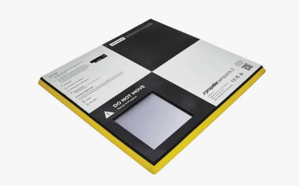
AeroPoints™
A ground points control solution for drone mapping to allow operators to easily and accurately establish ground control and get fully automated corrections.
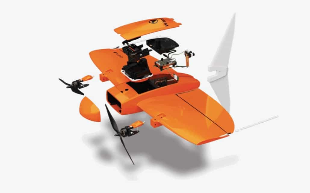
WingtraOne
Mapping drone used for large-scale surveys with a fly speed of 36mph, an onboard high-precision PPK GNSS receiver, and a 42 MP camera.