GPS Alaska
  • Home
  • Training & News
    • Training
    • News
  • Contact
    • Location
    • Staff
  • Construction
    • Machine Automation
    • GPS Surveying Systems
    • Field Controllers
    • Lasers, Levels, Laser Receivers, and Theodolites
    • Scales
    • Return On Investment
  • Survey
    • GPS Surveying Systems
    • Field Controllers
    • Levels
    • Total Stations and Theodolites
  • Mass Data Collection
    • Aerial Mapping
    • Mobile Mapping
    • Laser Scanning
  • Software
    • Construction Software
    • Survey Software
    • Mass Data & Mapping Software
    • Monitoring Software
  • TopNet Live

TOPCON 3D-MC² DOZER
​GRADING IN THIRD GEAR

DOUBLE THE SPEED... DOUBLE THE ACCURACY
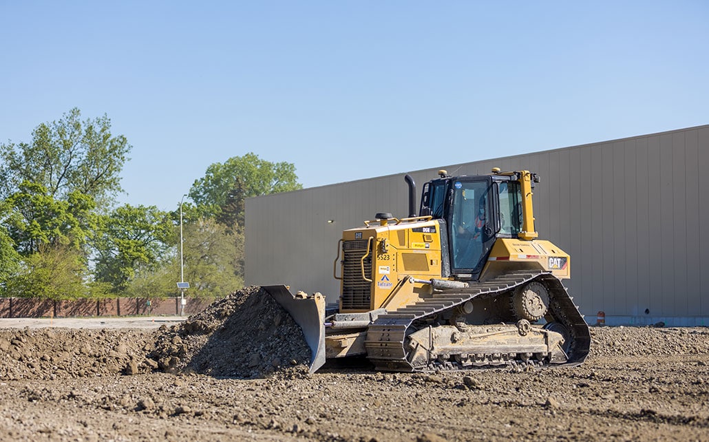
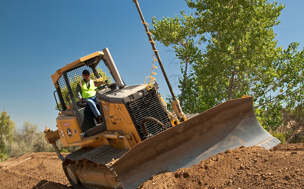
3D-MC² allows performance to be up to 200% more effective than existing 3D systems — whatever the ground — whoever the operator. Saving time, fuel and money at every pass.
Picture
GX-60
    
   Features and Benefits:
  • Inertial technology
  • GPS + GLONASS coverage
  • 100 Hz blade position update rate
  • 100 Hz hydraulic update rate
  • Smoothness and accuracy comparable to motor graders
Think about it: what would it mean to your company's bottom line to have a single dozer doing the work of two 3D dozers at speeds and smoothness comparable to a grader; to save time and money on every pass and every job? With 3D-MC2, it's not just possible, it's guaranteed!
3D-MC² Dozer Product Brochure

See How Topcon's 3D-MC2 Can Save You Money With These ROI Calculators.

Roadwork ROI Calculators
Sitework ROI Calculators
Picture
So Revolutionary, It's Reshaping Traditional Machine Roles
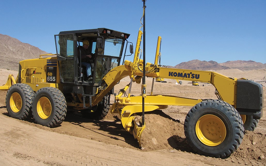
3D-MC2 will drastically change the role your dozer plays on a typical site, in some cases eliminating the need for a grader. It will also allow you to make more efficient use of your dozer. Along with speed increases, 3D-MC2 means fewer passes resulting in much more work done in less time. Less time equals less fuel and less machine wear. Most importantly, it means your dozer can spend more time making you money in another location or on other jobs.
​

How It Works
3D-MC2 utilizes Topcon's GX-60 control box, GPS+ antenna, MC-R3 receiver and new 3D-MC2 sensor and pairs them with advanced new controlling software to provide position updates up to 100 times per second. The MC2 sensor combines a gyro, compass and inertial sensor to measure the X, Y & Z position as well as the roll, pitch, yaw and acceleration of the dozer.
Picture
If it sounds like rocket science, it's because in many ways it is. But your operator's won't find it any more difficult to use than the MC systems they're already familiar with. In fact, if they've used the competition's systems, they'll find Topcon's 3D-MC2 whole lot easier to use!

Improved Operator Performance
3D-MC2 is built on our easy to use GX-60 interface. This interface has proven so easy to use that customers tell us their less experienced operators are able to perform near the level of their skilled operators.


Picture
GX-60 - The World's Easiest-To-Use Operator's Interface
Topcon's G63 and Z63 3D grade control systems feature the most advanced Operator interface available, Topcon's GX-60 touch sensitive control box. Light and compact with a full-color LCD touch sensitive screen, Topcon's GX-60 is a fully functioning Windows® computer that provides the operator with real-time grade information and control. Constructed of a strong cast housing and sealed internals, the GX-60 will be a refreshingly simple alternative to other operator interfaces.
Picture
GX-60
   Features and Benefits:
  • 512 Mb Internal Compact Flash Drive
  • 650 MHz Intel CPU
  • Windows XP Operating System
  • USB, Ethernet, RS-485, CAN, and RS-232 ports
  • Sealed Housing with Gortex Vent
  • Audio Speaker
  • Internal Backup Battery
  • Ambient Light Sensor for Sharp Contrast on the Display
  • Bluetooth Wireless Technology

MC-R3 

Topcon's MC-R3 is the heart of Topcon's 3D GPS+ system. Providing either solid brackets for permanent mounting or magnetic mounting for portability, the MC-R3 contains all of the GPS receivers, radios, and controllers in a single "built to last" housing. A built-in MINTER panel provides status lights and function keys for easy performance verification and system checks. The MC-R3 also features an Ethernet port, increased processing power over the previous generation box, and additional valve drivers to account for the widest array of machine compatibility.
Picture
MC-R3
  Features & Benefits
  • G3 Tracking technology
  • Network capable receiver with GSM / CDMA
  • UHF & Spread Spectrum radio options
  • LED indicators for satelite tracking and controller status
  • Advance Multipath Reduction (AMR)
  • In-band Interference Rejection (IBIR) option
  • Compliance with CMR and RTCM industry standard
  • Flash download capability (application code revisions in the field)
  • System Five Controller
  • Ethernet and RS-232 and RS-485 serial connection to GPS receivers and valve controller board
360 E. International Airport RD. Suite 10 Anchorage, AK 99518
Office (907)562-8000
                ​Fax (907)562-8080
                 
Picture
Picture
  • Home
  • Training & News
    • Training
    • News
  • Contact
    • Location
    • Staff
  • Construction
    • Machine Automation
    • GPS Surveying Systems
    • Field Controllers
    • Lasers, Levels, Laser Receivers, and Theodolites
    • Scales
    • Return On Investment
  • Survey
    • GPS Surveying Systems
    • Field Controllers
    • Levels
    • Total Stations and Theodolites
  • Mass Data Collection
    • Aerial Mapping
    • Mobile Mapping
    • Laser Scanning
  • Software
    • Construction Software
    • Survey Software
    • Mass Data & Mapping Software
    • Monitoring Software
  • TopNet Live