GPS Alaska
  • Home
  • Training & News
    • Training
    • News
  • Contact
    • Location
    • Staff
  • Construction
    • Machine Automation
    • GPS Surveying Systems
    • Field Controllers
    • Lasers, Levels, Laser Receivers, and Theodolites
    • Scales
    • Return On Investment
  • Survey
    • GPS Surveying Systems
    • Field Controllers
    • Levels
    • Total Stations and Theodolites
  • Mass Data Collection
    • Aerial Mapping
    • Mobile Mapping
    • Laser Scanning
  • Software
    • Construction Software
    • Survey Software
    • Mass Data & Mapping Software
    • Monitoring Software
  • TopNet Live

TOPCON MAGNET FIELD GIS
INTUITIVE PRODUCTIVITY, SCALABLE ACCURACY

A Field Software Solution Designed To Efficiently Accomplish GIS Workflows

Picture
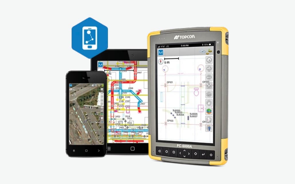
MAGNET Field GIS


  Features And Benefits:
  • Highly powerful and intuitive software
  • GIS and real time RTK modules available
  • Direct connectivity from active project sites to the office for easy data exchange
  • Easily customizable menus and feature attribute libraries
  • Vivid satellite image background for your data
  • Compatible with GIS industry file formats
A Graphical And Easy-To-Use GIS Data Collection Software Solution
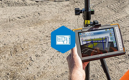
MAGNET Field GIS is a powerful field application software that will increase your GIS productivity and connect you to other team members in the field as well as in the office. Intuitive graphical icons and workflows help accomplish GIS field tasks such as collection, navigation, data update, code libraries, and feature measurements.

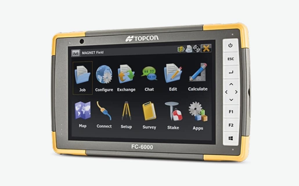
​Select the Basic GIS module for submeter Differential GPS (DGPS) positioning. When higher accuracy is required for projects such as utility location and asset management, select the Advanced module for real-time centimeter repeatability. Use Topcon's light and rugged HiPer SR receiver and a cellular enabled controller to connect to a reference station network for instantaneous high accuracy points.
MAGNET Field GIS Brochure
360 E. International Airport RD. Suite 10 Anchorage, AK 99518
Office (907)562-8000
                ​Fax (907)562-8080
                 
Picture
Picture
  • Home
  • Training & News
    • Training
    • News
  • Contact
    • Location
    • Staff
  • Construction
    • Machine Automation
    • GPS Surveying Systems
    • Field Controllers
    • Lasers, Levels, Laser Receivers, and Theodolites
    • Scales
    • Return On Investment
  • Survey
    • GPS Surveying Systems
    • Field Controllers
    • Levels
    • Total Stations and Theodolites
  • Mass Data Collection
    • Aerial Mapping
    • Mobile Mapping
    • Laser Scanning
  • Software
    • Construction Software
    • Survey Software
    • Mass Data & Mapping Software
    • Monitoring Software
  • TopNet Live