GPS Alaska
  • Home
  • Training & News
    • Training
    • News
  • Contact
    • Location
    • Staff
  • Construction
    • Machine Automation
    • GPS Surveying Systems
    • Field Controllers
    • Lasers, Levels, Laser Receivers, and Theodolites
    • Scales
    • Return On Investment
  • Survey
    • GPS Surveying Systems
    • Field Controllers
    • Levels
    • Total Stations and Theodolites
  • Mass Data Collection
    • Aerial Mapping
    • Mobile Mapping
    • Laser Scanning
  • Software
    • Construction Software
    • Survey Software
    • Mass Data & Mapping Software
    • Monitoring Software
  • TopNet Live

TOPCON MAGNET FIELD LAYOUT
PURPOSE BUILT FOR FAST AND SIMPLE DESIGN LAYOUT

Increase Design Layout Efficiency With Our Tailored Tool

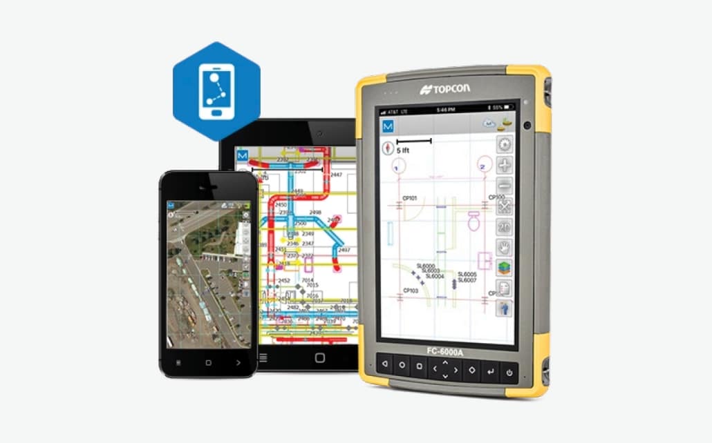
Picture
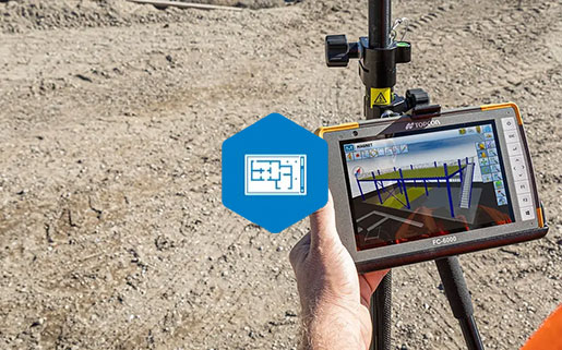
MAGNET Field Layout


  Features And Benefits:
  • Flexible building plan entry
  • Intuitive and graphical building layout menus
  • Large file format support including DWG
  • Fast creation of design points from lines
  • Hardware support for conventional and robotic total stations
  • Hardware support for Topcon HiPer SR
  • Exchange with MAGNET Enterprise as well as AutoCAD 360


A Customized Software Application Specifically For Quick And Confident Design Layout
MAGNET Field Layout is a customized version of MAGNET Field data collection software that increases building layout productivity. With in-the-field plans and dimensional entry, you can go from paper plan or 3D model to building layout faster than ever.
MAGNET Field Layout Brochure
360 E. International Airport RD. Suite 10 Anchorage, AK 99518
Office (907)562-8000
                ​Fax (907)562-8080
                 
Picture
Picture
  • Home
  • Training & News
    • Training
    • News
  • Contact
    • Location
    • Staff
  • Construction
    • Machine Automation
    • GPS Surveying Systems
    • Field Controllers
    • Lasers, Levels, Laser Receivers, and Theodolites
    • Scales
    • Return On Investment
  • Survey
    • GPS Surveying Systems
    • Field Controllers
    • Levels
    • Total Stations and Theodolites
  • Mass Data Collection
    • Aerial Mapping
    • Mobile Mapping
    • Laser Scanning
  • Software
    • Construction Software
    • Survey Software
    • Mass Data & Mapping Software
    • Monitoring Software
  • TopNet Live