GPS Alaska
  • Home
  • Training & News
    • Training
    • News
  • Contact
    • Location
    • Staff
  • Construction
    • Machine Automation
    • GPS Surveying Systems
    • Field Controllers
    • Lasers, Levels, Laser Receivers, and Theodolites
    • Scales
    • Return On Investment
  • Survey
    • GPS Surveying Systems
    • Field Controllers
    • Levels
    • Total Stations and Theodolites
  • Mass Data Collection
    • Aerial Mapping
    • Mobile Mapping
    • Laser Scanning
  • Software
    • Construction Software
    • Survey Software
    • Mass Data & Mapping Software
    • Monitoring Software
  • TopNet Live

TOPCON MAGNET OFFICE TAKEOFF
PREPARE FOR SUCCESS WITH ACCURACY

A Full-Featured Toolset For Estimating And Preparing Site And Road Construction

Picture
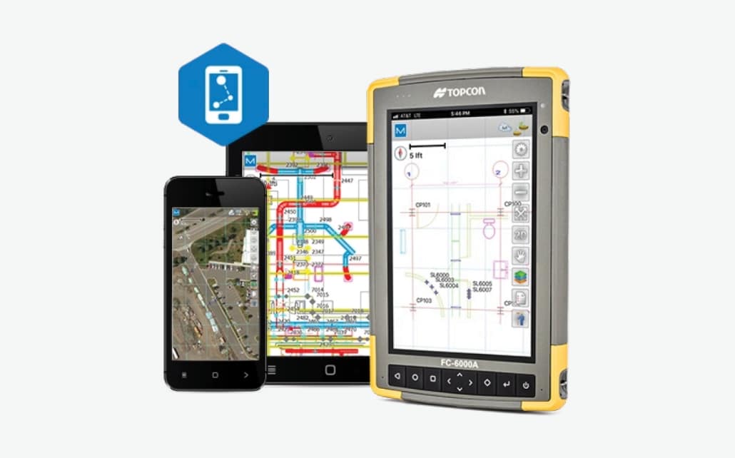
MAGNET Office Takeoff
 

​  Features And Benefits:
  • Bid projects accurately
  • Import PDF and volume data and use 3D elevation routines
  • Create surfaces using strata data
  • Hassle-free cut and fill balancing
  • Innovative trench features with customizable templates
  • Visualization and validation tools to assure accuracy
  • Generate customizable volume and cost reports
Create Material-Driven Estimates
The success of any site or road project starts at the take off. With MAGNET Office software's Takeoff module, you are empowered to tackle each challenge with a smart efficient routine that is designed specifically for construction professionals.

​Bring your PDF plans to life and quickly create project site pads with confidence. Balance the site to reduce or eliminate the transfer of unnecessary materials. Combine strata and construction materials to build a trench profile or road alignment to calculate true volume and cost estimates. Export machine-ready files for your crew and foremen.
MAGNET Brochure
360 E. International Airport RD. Suite 10 Anchorage, AK 99518
Office (907)562-8000
                ​Fax (907)562-8080
                 
Picture
Picture
  • Home
  • Training & News
    • Training
    • News
  • Contact
    • Location
    • Staff
  • Construction
    • Machine Automation
    • GPS Surveying Systems
    • Field Controllers
    • Lasers, Levels, Laser Receivers, and Theodolites
    • Scales
    • Return On Investment
  • Survey
    • GPS Surveying Systems
    • Field Controllers
    • Levels
    • Total Stations and Theodolites
  • Mass Data Collection
    • Aerial Mapping
    • Mobile Mapping
    • Laser Scanning
  • Software
    • Construction Software
    • Survey Software
    • Mass Data & Mapping Software
    • Monitoring Software
  • TopNet Live