
Building Construction Solutions
Reduce Errors and Save Time With Innovative Digital Solutions
Improve Accuracy With Cutting-Edge Construction Layout and Verification Technology
Digitize building layouts and streamline your workflow with intuitive technology designed to make your team more proficient, accurate, and effective. With digital layouts you can increase precision and easily perform quality checks, enabling your crew to lay out points faster, avoid costly rework, and increase profitability.
Construction Layout
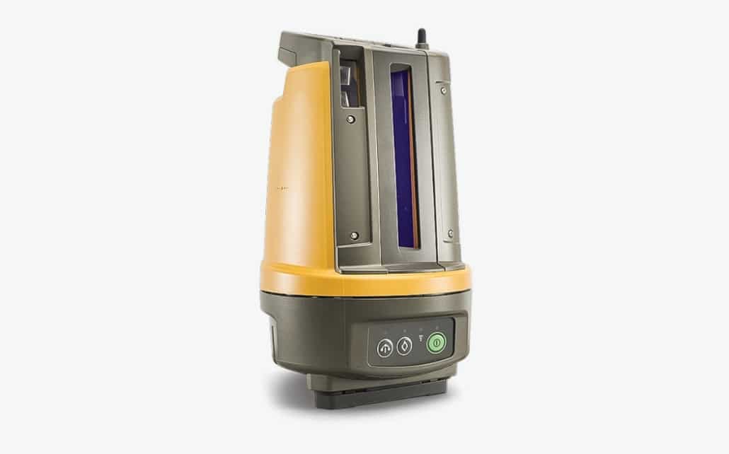
LN-150
Site solution for digital layout and construction verification workflows, including easy-to-learn layout automation and construction verification processes.
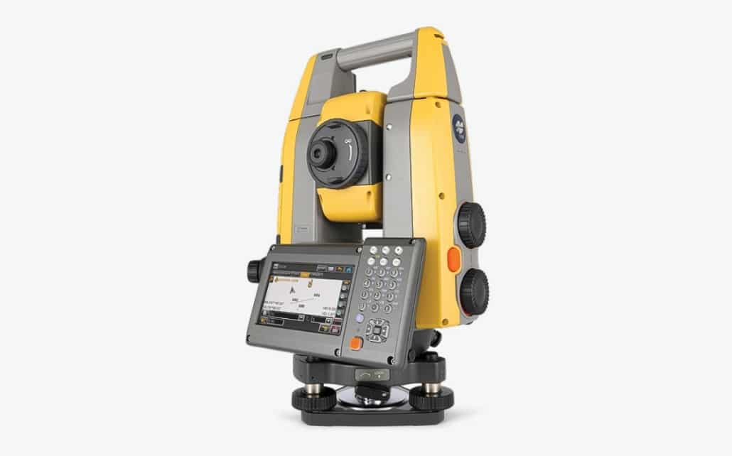
GT Series Robot
GT-Series Ultrasonic robotic total station that allows for more accurate and efficient point plotting for lay outs, surveys, and machine guidance.
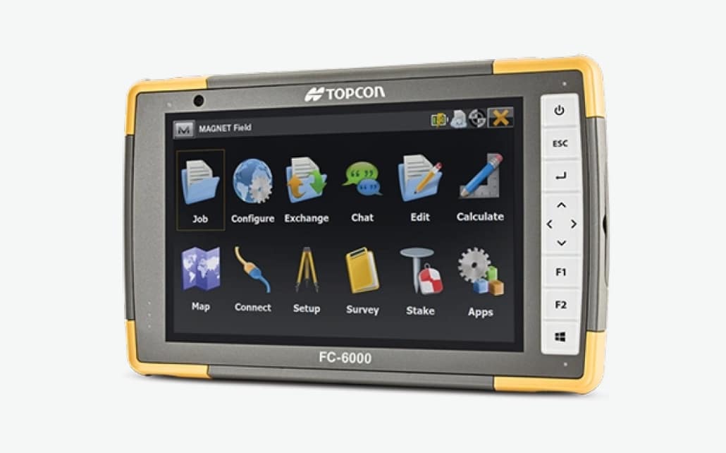
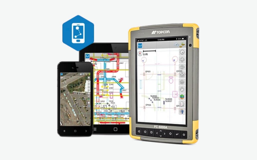
FC-6000
Handheld field computer with a 7-in. display, Intel® Quad-Core Pentium N4200 processor, and Windows 10 operating system.

MAGNET Layout
Ideal for small-site design, MAGNET Layout uses CAD software to allow teams to easily create and share field-ready point layouts from design documents.

Point Manager
Simplify your office-to-field workflow with an automatic point creation software for transferring files to and from your robotic total station.
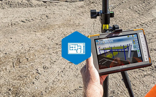
MAGNET FIELD Layout
Field layout software with a simple interface, field-based point creation, field-to-office cloud connectivity, and easy set-up routines.
MAGNET Construct
iOS and Android app that functions as a field-controller software for GNSS receivers and robotic total stations.