
The transformation of a single plot of land into a freeway, neighborhood, or industrial plant doesn’t happen overnight. Before construction even begins, land surveyors research, measure, calculate, and map the area – providing vital information for the design and construction of the project. While the surveying processing can be a meticulous and time-consuming process, surveying software has greatly streamlined this process in the field and office.
As a land surveyor, you are tasked with using your expertise to perform highly accurate, efficient surveys. With the right software at your fingertips, you can exponentially enhance your precision and increase speed – allowing you to excel at your work and build revenue. Here are just a few of the ways that modern land surveying software can streamline your surveying workflow.
Want to learn more about surveying equipment that can transform your Alaskan surveying or construction business? Speak with a GPS Alaska rep to learn more about our cutting-edge surveying tech.
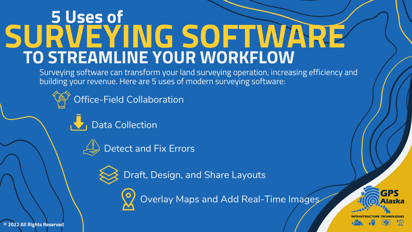
1. Office-Field Collaboration
Hold-ups in communication can stall your surveying team and disrupt your workflow. Field-to-office surveying software, like MAGNET Enterprise, provides a secure cloud environment where office, field, and remote team members can collaborate and access or interact with data.
This type of software is also a valuable tool in a world where digital connectivity has become standard across essentially every industry. The pandemic emphasized just how important it is that surveying and construction professionals have versatile software available to maintain efficiency and continue building profit when distance is an obstacle. By enabling collaboration at any time and place, your surveying team has the flexibility and capability to keep projects moving.
2. Data Collection
With field data collection software that connect with your surveying equipment, such as a robotic total station, you can more easily gather land positioning data points. By using a mobile device, you can take your software with you, removing the extra step of transferring data you gather to your office software. MAGNET Field is a powerful data collection and mapping software that works with all other Topcon surveying products. It enables digital point collection, surface staking, building layout, and volume
measurement. Best of all, you can perform all these functions in a fraction of the time, with an easy-to-use, customizable interface.
3. Detect and Fix Errors
Errors can be incredibly costly for surveyors. Seemingly small mistakes can be a big deal to your clients when an error results in miscalculated property boundaries or issues with construction down the road. Having to re-do your work can push out timelines and cost you lost profit.
While modern surveying technology can make you much more precise in your measurements, with the right software you can easily identify and adjust errors. Surveying software, like MAGNET Tools, allows surveyors and mapping professionals to post-process and edit data collected on the field from your total station or GNSS Equipment. This software will automatically check for errors and allow you to visualize field work in Google Earth or other formats.
4. Draft, Design, and Share Layouts
Surveying software can be used to take data points and create a drawing layout of the site. These drawings may be very simple or more complex depending on the skill of the surveyor and the needs of the client. These layouts present surveying data in a useful, easy-to-read way. Your designs may include contours and surfaces, volumetrics, and land-development and subdivision designs.
With software like MAGNET Survey, you create share-ready surveys that support a wide variety of file formats. It provides an intuitive drafting environment, including standalone CAD capabilities and the ability to view your design from multiple perspectives. It also connects directly to MAGNET Enterprise, allowing multiple team members to collaborate on design projects.
5. Overlay Maps and Add Real-Time Images
Surveying software like the Carlson SurvCE allows you to overlay maps, which can help you visualize the field or create additional layers onto an existing survey. Carlson SurvCE allows a wide variety of overlay formats, including Google, Open Street Maps, Esri Maps, and your own WMB overlays. MAGNET Tools has a similar feature, allowing you to visualize field work in Google Earth, which can be exported to 3D CAD software. Types of surveying software, including Carlson SurvCE and Magnet Field, also allow you to assign points or lines to real-time images
Investing in Integrated Surveying Software
Surveying software integrates seamlessly with the technology you use most. GPS Alaska provides hardware and software solutions to drastically enhance your workflow, minimize errors, and provide a fast ROI. With products from Topcon and other top-rated providers of positioning products and high-end surveying technology, you can invest in the equipment and compatible software you need to meet the demand for your services and increase revenue.
Our full line of surveying technology includes:
- GNSS: This includes receivers, radio modems, and reference stations with measure position from a network and satellite constellations.
- Manual and robotic total stations: Surveying technology that combines the function of a theodolite with an electronic optical distance meter to calculate both angles and distance.
- Manual total stations require two people to operate while a robotic total station only requires one person to take measurements.
- Lasers, Levels, & Theodolites: Our other software tech provides surveyors with a wide range of tools to measure slope, check grade, use mobile monitoring, and provide auto leveling.
- Data Collection Devices: We carry handheld field computers and tablets to allow you to take your surveying office with you out to the field. Collect data, conduct stakeouts, create construction layouts, and more wherever you have a connection.
- Surveying Software: We carry Topcon’s line of MAGNET surveying and construction software and data collection from Carlson SurvCE to meet all your land surveying needs.
If you’re looking to upgrade your surveying technology and invest in technology and software, GPS Alaska can help you choose the products that will best fit your needs. Our integrated solutions bring the office and field together, allowing you to easily access your surveying software from the field while collaborating with your team at the office or remote location.
No longer will you need to worry about training your team on multiple platforms or struggling to convert files across different software. With Topcon’s surveying product line, you can streamline your workflow. From collecting data on the field to sharing designed layouts, you’ll greatly increase your efficiency and quickly deliver highly precise surveys to your clients.
Contact GPS Alaska to Find the Best Solutions for Your Surveying Company
Not sure which surveying software will work best for your needs? Whether you’re a professional contractor or owner of a large surveying team, we have solutions that are ideal for small and large Alaskan surveying businesses. We know our product line in and out and are happy to walk you through which option will best fit your needs, budget, expertise, and current equipment.
Let us help us find you surveying solutions that will be a game-changer in how you operate. Call GPS Alaska to get started.