GPS Alaska Rentals
Rent the Best Construction and Surveying Equipment
GPS Alaska is your source for the most cutting-edge surveying machine control systems, positioning products, and other infrastructure technology to automate your construction or surveying operation. We carry a large selection of equipment from Topcon Positioning System and our industry partners. Whether you need a product for a specific product are interested in our Rent-To-Own (RTO) options, our team can get you set up with technology that will help you beat your productivity goals.
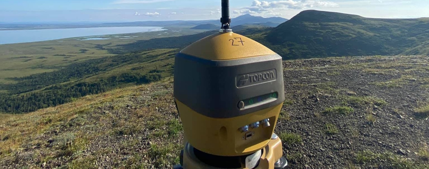
GNSS Receivers
| Image | Equipment | Description |
|---|---|---|
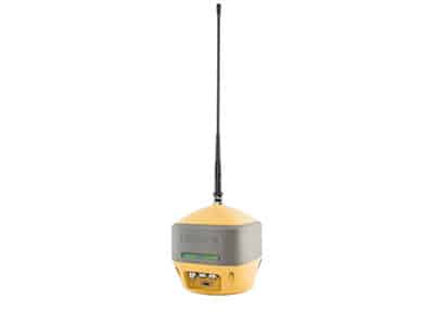 | Topcon HiPer HR UHF GNSS Receiver |
|
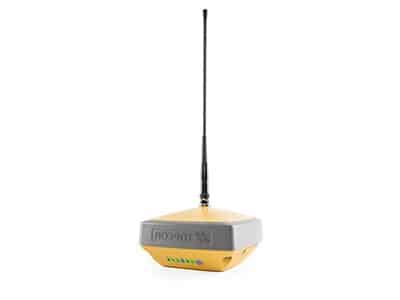 | Topcon HiPer VR UHF GNSS Receiver |
|
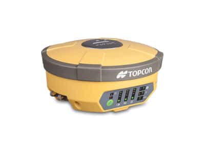 | Topcon HiPer V UHF GNSS Receiver |
|
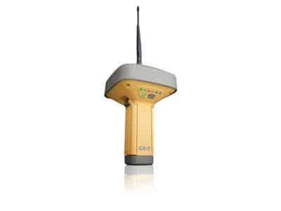 | Topcon GR-5 UHF GNSS Receiver |
|
MMGPS
| Image | Equipment | Description |
|---|---|---|
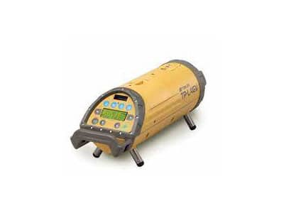
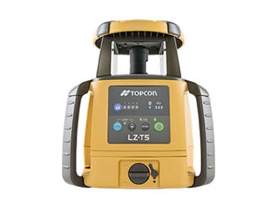 | LZ-T5 MMGPS Laser Transmitter | The LZ-T5 laser transmitter operates similar to a standard rotating laser, but transmits a unique signal to provide a working range of 1000 ft and a measuring area of 33ft in height. Up to four laser transmitters can be linked for use on large sites. Each LZ-T5 laser transmitter also supports multiple rovers, even at different elevations for continuous production. |
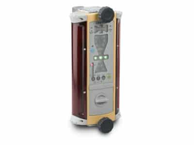
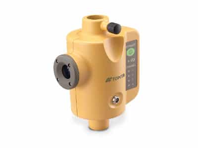 | Topcon PZS-1 MMGPS Laser Sensor | The PZS-1 sensor instantly computes precise vertical information from the LZ-T5 laser transmitter. Using Lazer Zone technology, the PZS-1 automatically determines elevation based on jobsite control. Mounting the PZS-1 to a range pole and attaching a GPS+ receiver allows the sensor to receive the LZ-T5 laser signal and wirelessly transmit data to the receiver. |
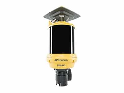 | Topcon PZS-MC MMGPS Laser Sensor |
|
External Radio Boosters
| Image | Equipment | Description |
|---|---|---|
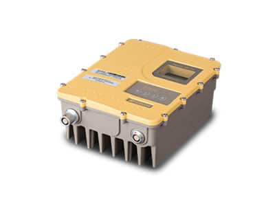 | Topcon SRL-35 35 Watt UHF External Radio |
|
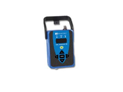 | Pacific Crest ADL Vantage Pro 35 Watt UHF External Radio |
|
Optical Instruments
| Image | Equipment | Description |
|---|---|---|
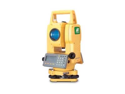
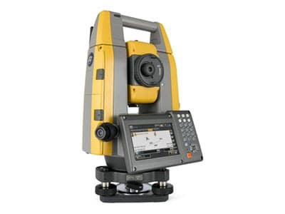 | Topcon GT-1200/600 Robotic Total Station |
|
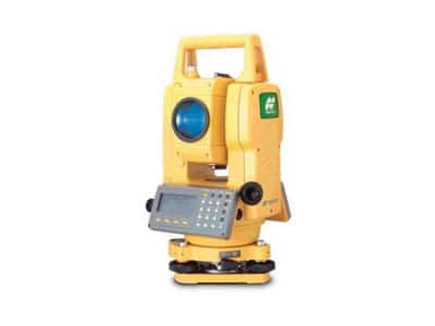 | Topcon GTS-235NW Conventional Total Station |
|
 | Topcon GTS-245NW Conventional Total Station |
|
 | Topcon LN-150 Layout Tool | The LN-150 takes you from paper plans and tape measures into digital layout and construction verification workflows. This tool is easy to learn and easy to use, letting you automate and execute layout and construction verification processes for increased productivity, accuracy, and bottom-line savings. |
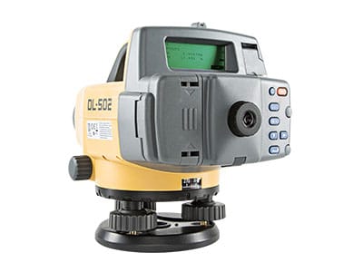 | Topcon DL-502 Digital Level |
|
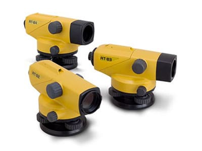 | Topcon AT-B Series Auto Level |
|
Field Controllers
| Image | Equipment | Description |
|---|---|---|
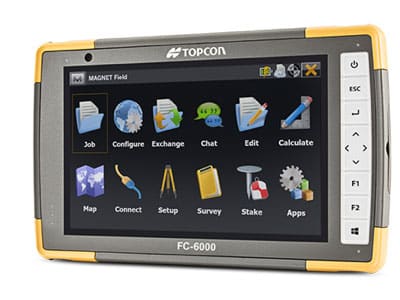 | Topcon FC-6000 Data Collector with Magnet Field or Pocket 3D Software |
|
Lasers and Receivers
| Image | Equipment | Description |
|---|---|---|
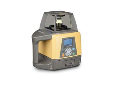 | Topcon RL-200 2S Dual Sloping Laser |
|
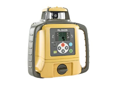 | Topcon RL-SV2S Dual Sloping Laser |
|
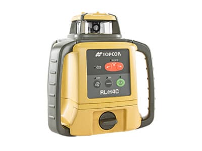 | Topcon RL-H4C General Construction Flat Plane Laser |
|
 | Topcon Pipe Laser |
|
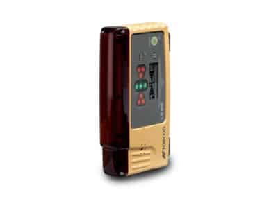 | Topcon LS-B10 and LS-B10W Laser Receivers |
|
 | Topcon LS-B100 Series Laser Receiver |
|
Machine Sensors
| Image | Equipment | Description |
|---|---|---|
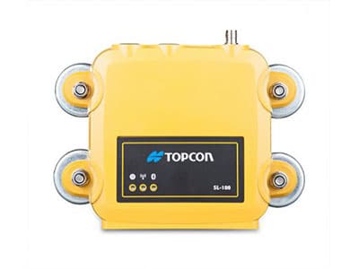 | Topcon SL-100 Cellular Communication Module |
|
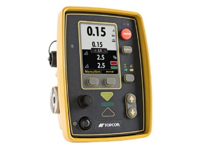
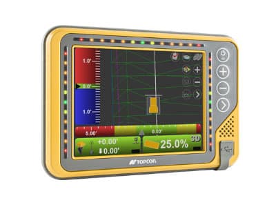 | Topcon GX-55 Control Box | The 6.5 inch screen GX-55 delivers the highest quality graphical interface experience for modern machine control. The GX-55 was designed to handle rugged field conditions as well as harness powerful processing power needed to instantly display real time position and project design information. |
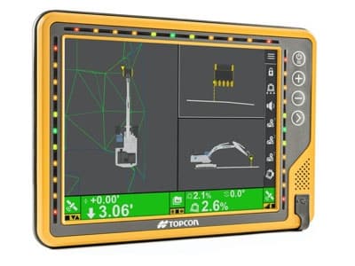 | Topcon GX-75 Control Box | The 10.5 inch screen GX-75 delivers the highest quality, graphical interface experience for modern machine control. The GX-75 also includes LED light bars that allow operators to easily see where they are in relation to grade. It includes an adjustable mounting backpack designed to provide versatility — whether an operator prefers to view project information on the left, right or center of the cab. |
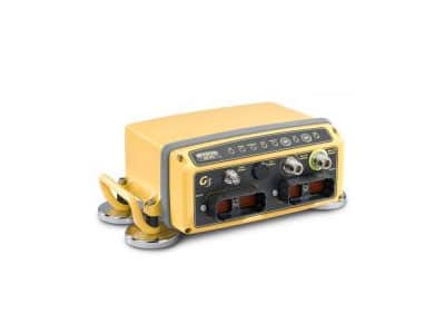 | Topcon MC-R3 UHF GNSS Machine Control Receiver | Topcon’s MC-R3 is the heart of Topcon’s 3D GPS+ system. The MC-R3 contains all receivers, radios, and controllers in a single tough housing. A built-in MINTER panel provides status lights and function keys for easy performance verification and system checks. The MC-R3 also features an ethernet port, robust processing power, and additional valve drivers for the widest array of machine compatibility. |
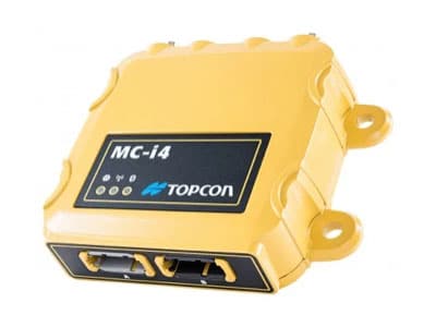 | Topcon MC-i4 Dual UHF GNSS Machine Control Receiver | The MC-i4 receiver features an internal SL-R4 board which contains an integrated digital UHF radio, LongLinkTM Bluetooth, and a GSM/CDMA modem for Sitelink3D ready on almost all network connections. The rugged design allows for ultra reliability in even the harshest site conditions. The MC-i4 was subjected to IP67 testing specifications which require the hardware to have extreme protection against moisture and dust as well as stringent drop and vibration requirements. |
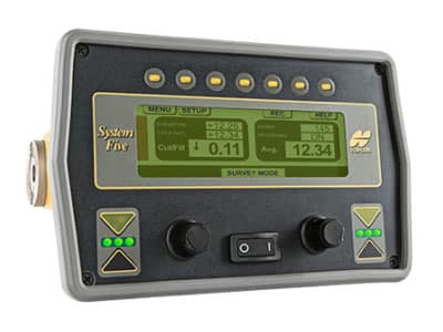 | Topcon System V Paver Control Box |
|
 | Topcon GC-35 Paver Control Box | The GC-35 graphical computer display is designed for rugged machine environments. Light and compact with a full-color LCD screen, Topcon’s GC-35 is a single-function machine control platform that provides the operator with real-time grade information and control. The GC-35 comes preloaded with application- specific software. The new control box is field reprogrammable and backwards compatible with System IV and System V sensors. A simple design and new sealed elastomer buttons allow for easy-to-use menus and functions for a wide variety of machine control applications. |
| Topcon Sonic Tracker II |
| |
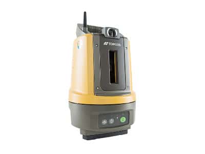
| Topcon ST-3 Sonic Tracker |
|
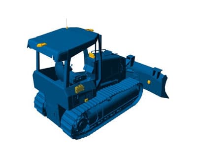
Dozer Machine Control Systems
| Image | Equipment | Description |
|---|---|---|
 | Topcon MC-MAX Mastless Dozer System | A revolutionary dozing system, MC-X MAX delivers the highest productivity dozer solution for any rough or fine grading application. The mastless MC-X MAX uses three of our industry leading IMU sensors, both the body, C frame, and blade sensor will keep the blade cutting edge on grade for any application. This system was built to keep you productive on any jobsite providing maximum speed, maximum control, and maximum performance. |
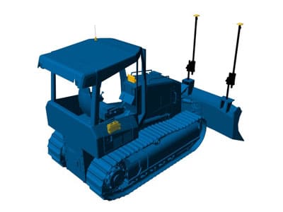 | Topcon 3D-MC Dozer Dual or Twin Antenna system | For road building, site work, contour grading, or any other complex surface grading requirements, Topcon’s 3D-GPS+ will put more money to your bottom line – where it counts. Comes in Single-Antenna, Dual-Antenna, and Twin-Antenna. |
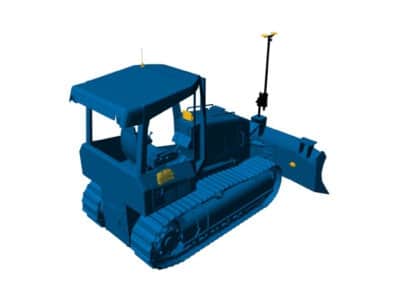 | Topcon 3D-MC2 Dozer System | Topcon’s 3D-MC² takes 3D machine control to a whole new level, making your dozer a high-speed finishing tool! The secret to 3D-MC²’s increased grade performance is a revolutionary 3D-MC² sensor which measures movement and rotation in 9 axes, and 10 times faster than standard systems. |
Grader Machine Control Systems
| Image | Equipment | Description |
|---|---|---|
 | Topcon 3D-MG2 Grader System | 3D-MC² raises performance up to 200% over existing 3D systems — whatever the ground, whoever the operator. Adding 3D-MC² to your motor grader allows the control system to immediately sense any changes in the cutting edge position and instantly make corrections. You’ll save time, fuel and money at every pass. Finish grades at higher speeds and tighter tolerances |
 | Topcon MMGPS Grader System | Millimeter GPS+ for grader combines the advantages of laser (multi-user & high vertical accuracy) with GPS (multi-user & 3D) into one versatile and easy to use system. This patented technology improves grading accuracy up to 300% over existing 3D-GPS machine systems. Unlike any other laser technology, the LZ-T5 transmitter sends out a wall of light 33’ tall and up to 2000’ in diameter. Simply add the PZS-MC machine control sensor and watch your GPS vertical accuracy shrink down to numbers you never imagined before. |
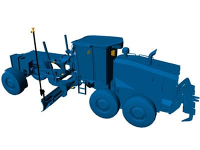 | Topcon 3D LPS Grader System | When satellites are not visible, LPS (Local Position System) is the right choice. Situations like tunnels, densely-built areas or forests make it tough to use satellites. This is where LPS comes in. Using a standard robotic total station for guidance ensures accurate blade position. |
Excavator Machine Control Systems
| Image | Equipment | Description |
|---|---|---|
 | Topcon MC-MAX Fully Automatic Control Excavator System | The MC-X MAX excavator system simultaneously delivers position and grade guidance. The system constantly interacts with available GNSS constellations to track the excavator’s position on the planet, while sensors track the bucket’s relation to the target grade. Click the auto button and the excavator will cut the grade for you. |
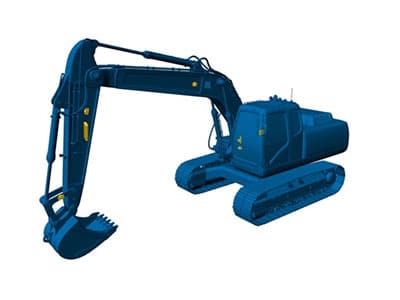 | Topcon X-52x 2D Excavator System | The X-52x is a user-friendly 2D excavator grade indication system. This system instantly eliminates over-excavation and controls material usage, saving both time and money. It features the rugged, touch-screen Windows-based GX-55 control box. |
 | Topcon 3D LPS Excavator System | Topcon’s LPS for excavators uses our leading optical technology combined with our versatile MC-i4 receiver to deliver through the lens machine control on all 3D jobsites. When satellites are not visible, LPS (Local Position System) is the right choice. Situations like tunnels, densely-built areas or forests make it tough to use satellites. This is where LPS comes in. Using a standard robotic total station for guidance ensures accurate blade position. |
Asphalt Paving Systems
| Image | Equipment | Description |
|---|---|---|
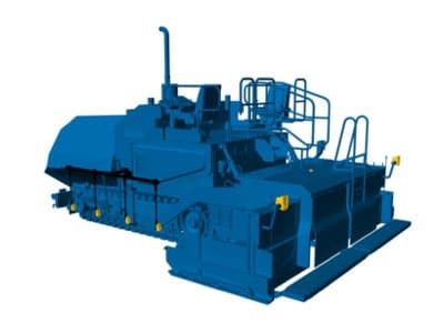 | Topcon P-32 2D Asphalt Paver System | The proven Sonic Tracker and Cross Slope sensor complete the P-32 system that will give you high quality results in any 2D paving application. With the GC-35 control box, new bracket design and improved, lighter and more durable cables, 2D paving has never been easier! |
 | Topcon MMGPS Paver System | Paving 3D-mmGPS incorporates the flexibility of GNSS with the accuracy of a laser Millimeter-accurate control in three dimensions. Using standard Topcon machine control components which can be swapped between machines, the Millimeter GPS system adds a laser transmitter unique to the construction industry that truly augments the GNSS position, to radically improve vertical accuracy. The same job file that controls your grading machines plugs in here too. |
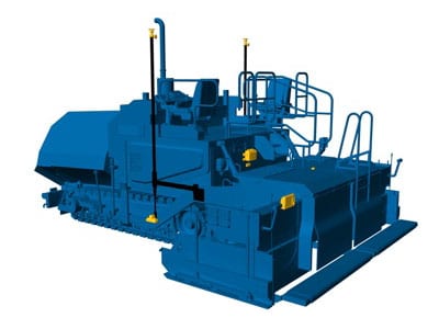 | Topcon LPS Paver System | Our LPS paver system delivers the most accurate data to your paver’s control system, without interruption. This sub-centimeter solution confidently communicates through multiple Robotic Total Stations to an on-board radio hub via long range Bluetooth® LongLink technology. |
Milling Machine Control Systems
| Image | Equipment | Description |
|---|---|---|
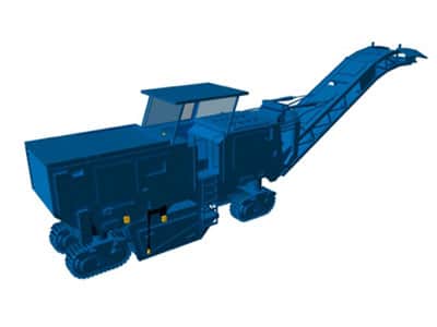 | Topcon P-32 2D Milling System | The time tested P-32 2D milling system delivers ultimate reliability. 2D milling provides smooth results for elevation and slope control by using a sonic averaging system. Paired with the industry standard for elevation and slope control for asphalt milling, the patented Sonic Averaging System (SAS) provides smoother results offsets allow for any chosen mill depth; the time-tested system delivers ultimate reliability. |
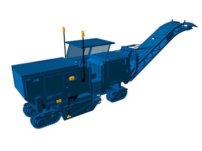 | Topcon MMGPS 3D Milling System | MMGPS milling changes the way road resurfacing is done. To save time and to keep you a step ahead, your 3D design model now dictates and controls milling depth. Get ready to leave manual processes of milling thickness or reading out mill-marks on the road behind. The entire set up is much easier than before, with no string lines or physical references needed. It all works from accurate Topcon Millimeter GPS technology and a 3D design, leading the milling crew to unmatched results. |
Intelligent Compaction Systems
| Image | Equipment | Description |
|---|---|---|
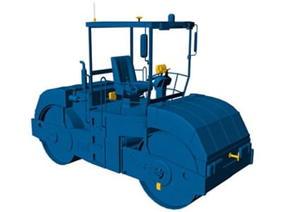 | Topcon C-53 Intelligent Compaction System | The C-53 system gives you the best in real-time quality control. No more guessing about right number of passes, mix temperature or stiffness. Topcon’s integrated system actively displays pass counts, ICMV values, and mix temperatures as you pave. This data is continuously updated though the Sitelink3D Enterprise status page where real-time progress is displayed and saved for future reporting. And the C-53 keeps you in control without even being on the site. You can manage errors before they happen and fix problems remotely. |
Weighing Systems
| Image | Equipment | Description |
|---|---|---|
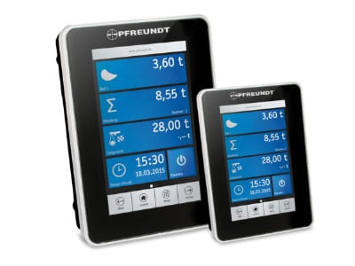 | Pfreundt WK60-S Loader Scale | High accuracy onboard wheel loader scale. Typical accuracy of 99% or better with dynamic, weigh-in-motion technology. |
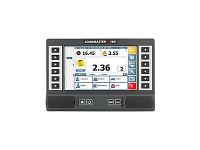 | Topcon Loadmaster a100 | The LOADMASTER α100 is a CAN based system setting a benchmark for the industry combining cutting edge sensor technology and signal processing techniques providing precise and consistent weight information. With the ever-increasing focus on productivity, LOADMASTER α100 has been designed to operate within the fastest loading environments and toughest of conditions compensating for uneven, sloped ground and restricted loading areas reducing cycle times and maximizing tons per hour performance. |
Drones and UAV
| Image | Equipment | Description |
|---|---|---|
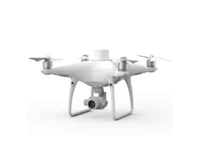 | DJI Phantom 4 RTK Equipment | The Phantom 4 RTK is DJI’s first survey-focused UAV. The real-time kinematic (RTK) unit on the drone itself allows photos to be geotagged with survey-grade accuracy. |
 | Seafloor Systems HydroLite-TM Echosounder | The HydroLite-TM™ quickly measures and logs depths more accurately than standard systems, making fast work of ponds, rivers, lakes, and more. Pair with your favorite GNSS system. |
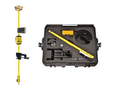
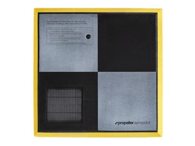 | AeroPoints Smart Ground Control Points (Each) | AeroPoints™ are high-precision, smart ground control points, thoughtfully designed for drone beginners, but precise enough for survey veterans. Forget hours with bases and rovers, just lay out your AeroPoints and let them do the work. |