Pocket 3D
Maintain Visibility With Productivity Software Designed With Contractors in Mind
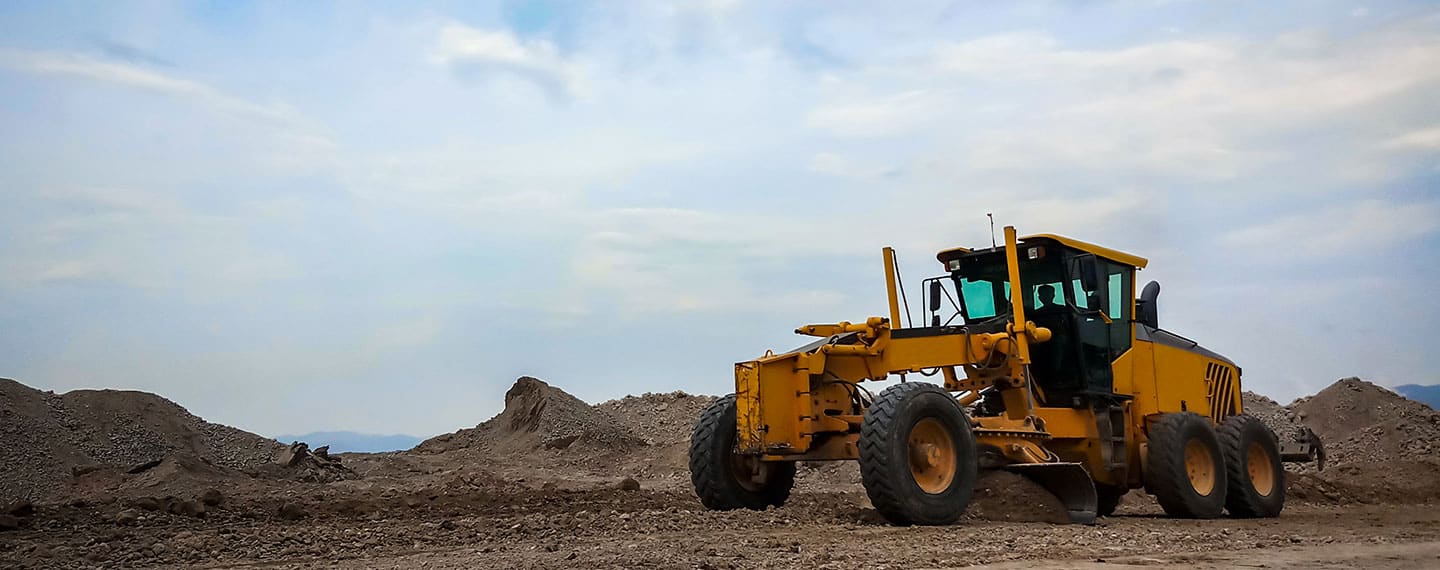
Streamline Your Contracting Workflow With a Simple Data Collection Tool
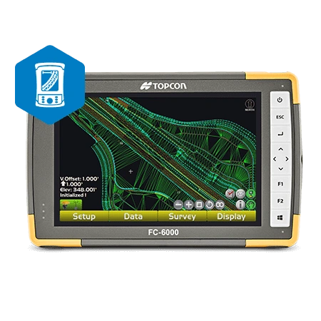
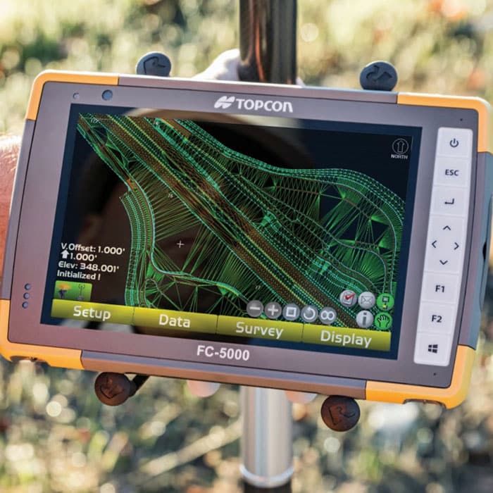
Forget overly complicated data collection software. Pocket 3D is simple to use, compact, and compatible with all Topcon GNSS receivers and robotic systems. But don’t let its small size and intuitive interface fool you. Pocket 3D is an effective tool for grade staking, quality control, topographic surveys, cut-and-fill measurements, bid specifications, and more.
Perform Project Management and Share Data on One Handy Device
With Pocket 3D, you get a pocket-sized project management and data collection tool all in one. This small but mighty device is Sitelink3D ready, enabling two-way communication with every GNSS rover in the field and other crew members. You can easily share data, text, and files – allowing your entire crew to be in constant contact and stay on top of changes.
Key Features of Pocket 3D
- Easy-to-use interface
- Deliver files to 3D-equipped machines (like 3D-MC)
- Stake out features in the design
- Calculate volume and other essential measurements
- Perform fast, automatic topo surfaces
- Integrate with Topcon GNSS receivers and robotic systems
- Connect with Sitelink3D
Have the Data You Need at Your Fingertips With GPS Alaska
Data is a core piece of your work as a contractor. If you aren’t collecting adequate data or spend excessive time calculating measurements, your operation is sure to struggle. Pocket 3D takes the stress out of data collection with simple buttons, an intuitive display, and integrative features. Add Pocket 3D to your list of must-haves while on the field and contact GPS Alaska today.