
Weighing & Monitoring Systems
Measure, Weigh, & Monitor With Incredible Precision
Measure Loads Accurately With Advanced Scanning Systems and Scales
Your team relies on the most precise data to get the job done the first time around. Boost productivity with weighing and monitoring systems that integrate with your machinery and allow your crew to quickly capture real-time measurements without frequent calibration.
Volumetric Scanner
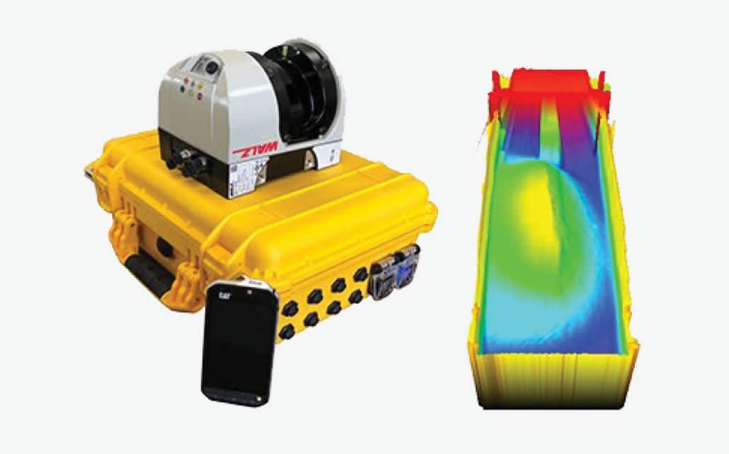
WLS Walz Load Scanner
A volumetric truck load scanner system with real-load volume measurement and a built-in ticketing system.
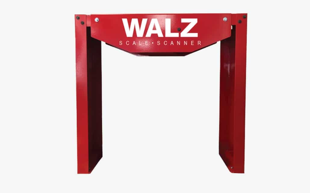
WBS Walz Belt Scanner
A volumetric conveyor belt scanner system with an accuracy of 99% or better and real-time volume measurement.
Weigh-In Motion
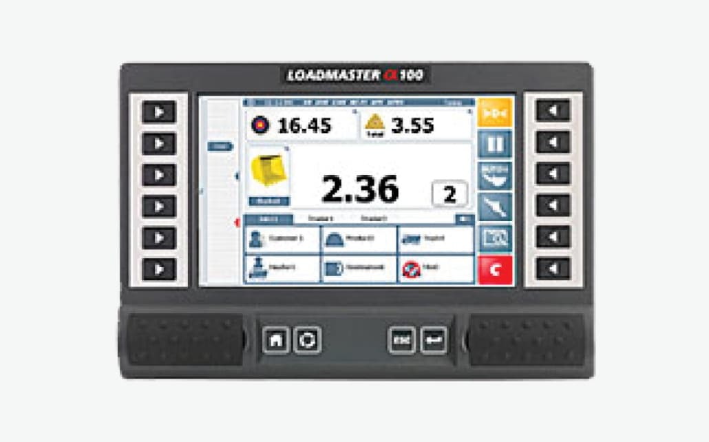
RDS Loadmaster a100
A CAN-based system that combines cutting-edge sensor technology with signal processing techniques.
WL Series Wheel Loader Scale
High-accuracy wheel loader scale with a built in GPRS system and calibrations for multiple attachments.
Belt Scale
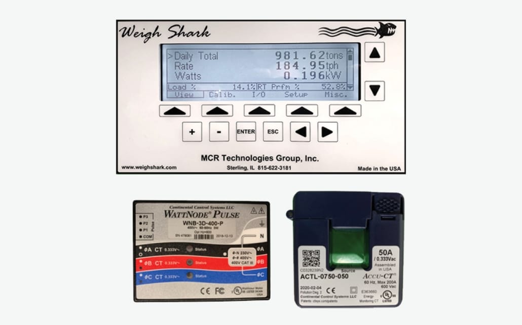
Weigh Shark Belt Scale
Belt scale built with a solid steel load cell assembly and a heavy-duty speed sensor.