
When you’re out working on remote sites in the arctic, the tools you rely on need to be tough and dependable. You don’t get many do-overs in these harsh conditions, and not only does your equipment need to be tough, but your field-to-office communication needs to be reliable.
As a field surveyor, you need to be confident that your data is being received back at the office. And this is what MAGNET enterprise can offer.
There’s a growing demand in Alaska for competent construction professionals. And the need for the right tools is just as important on these tough projects. In the following, we’ll explore MAGNET enterprise from Topccon and other tools you can rely on to enhance effective field-to-office collaboration.
Ready to learn more about how MAGNET Enterprise can increase your productivity? Reach out to GPS Alaska today!
What is MAGNET Enterprise?
MAGNET enterprise is a cloud-based software that offers a secure environment for connections between office and field teams. And with this tool, there will be very little guesswork when it comes to relaying information from remote locations.
A few features that make MAGNET Enterprise stand out from the rest include:
- An enhanced ability to connect field-to-office teams
- Real-time access to all of your project data
- A secure cloud environment that connects your office and field teams
- Improve team communication and collaboration.
- Use any web browser to view your data on a map or redline models
- Measure areas and distances.
- Save time and money by reviewing and converting data in real-time and effectively organizing projects.
- View other Topcon devices on your network and transfer real-time data
- Visual maps of projects and geo-referenced datasets
- Annotate and share redlined models with field users
- Transfer data to Topcon Sitelink3D, Bentley ProjectWise and Autodesk®️ BIM 360
With MAGNET enterprise, you’re simply better connected and more secure when you’re transferring data between remote sites and office locations. And for those who work out on the ice, the relief that comes from knowing your data is being transmitted and received properly is worth every penny.
What Projects Can MAGNET Enterprise be Used for?
When you’re out on the job in the arctic, you don’t have the time to think about what tools work the best for a particular job. And the great thing about Magnet Enterprise that GPS Alaska offers is the versatility that this software is known for.
The truth is, you can use MAGNET enterprise for a variety of jobs and projects. And a few of these are as follows:
- Field surveying
- Asphalt projects
- Site Management
- Earthmoving projects
- Layout and Design
- Forestry
- Forensics
- Utilities
MAGNET enterprise offers your team a connected approach to all of your collaborative projects including effortless field-to-office communication. By integrating all the branches of your project scope – including machine, site, office, instrument, and third-party software – your project team will stay informed and this will increase efficiency, productivity, and profit.
Collaborative Tools for the Field and Office
Having a team to rely on is a big part of surveying and building in Alaska. After all, in the harsh conditions and environment that you have to work in, knowing that the person to your right or left has the skills needed to do the job is both reassuring and necessary. But having effective collaboration tools to work with and relay information back to the office is just as essential.
With MAGNET enterprise, you can also integrate many tools that you’ll need to get the job done and store data. Whether out on a site surveying or creating machine control 3D models, MAGNET products have everything you need to get the job done right the first time.
Collaboration tools that integrate with MAGNET enterprise can enhance your productivity. And GPS Alaska offers the following for all of your field-to-office needs.
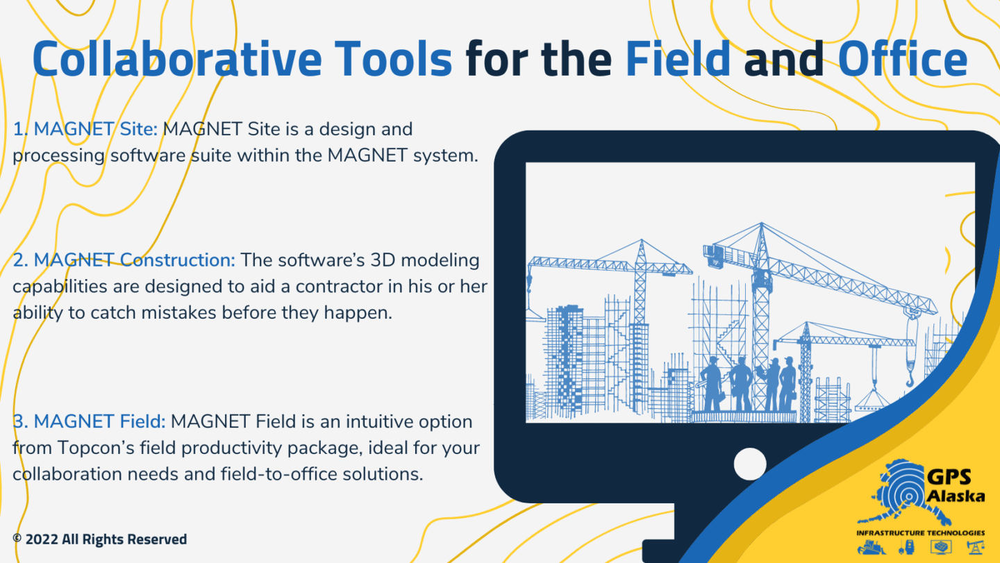
MAGNET Site
MAGNET Site is a design and processing software suite within the MAGNET system. This software has intuitive features that are perfect for building machine control 3D models and has specific modules that help drive survey and construction projects with a simplified workflow.
MAGNET Site can bring all of your survey and earthmoving projects together, and through MAGNET enterprise, you’ll be able to relay this data between all devices, and back home to the office with ease.
MAGNET Construction
Remember the days when getting an estimate or the right construction model required a labor-intensive struggle and a lot of guesswork? Well, getting an estimate and constructible model right is no longer an issue thanks to MAGNET Construction.
The software’s 3D modeling capabilities are designed to aid a contractor in his or her ability to catch mistakes before they happen. And with MAGNET Construction, you’ll be able to mitigate issues of over-digging while keeping your machine control operators connected and on target.
MAGNET Construction modeling can also be used for trenching, multiple and corridor projects, and asphalt repaving projects.
A few features of MAGNET construction are:
- · PDF to digital conversions
- Customizable materials library
- Subsurface strata from bore-hole data
- Subgrade-quantity calculations
- Cut and fill maps
- Cleanup-of-surface files
- Site balancing
- Pipe-library
- Trench templates
- Library of compatible file types
- Paving surface design
- Sitelink3D and MAGNET Enterprise connectivity
MAGNET Field
If connectivity and productivity make your mouth water when it comes to site collaboration, MAGNET Field is here to make all of your projects more connected and productive. And for survey and construction professionals, MAGNET Field is an intuitive option from Topcon’s field productivity package, ideal for your collaboration needs and field-to-office solutions. Built to accelerate productivity, GPS Alaska offers this tool that all contractors need as a part of their collaborative toolkit.
Even if you have a crew that is new to using any MAGNET products, MAGNET Field doesn’t take long to learn. And this tool has the power to take on highly complex positioning projects. As such, both surveyors and contractors can use this tool to collect points, stake out road and site projects, building layouts, and perform land surveys.
A few features that MAGNET Field offers both surveyors and contractors are:
- Roading tools
- Library of compatible 2D, 3D, and BIM file formats
- Calculate, contour, and compare surfaces
- Surface staking with automatic digital terrain model creation
- Colorized cut-and-fill indicator and volume calculations
- Field-to-office cloud option via MAGNET Enterprise
When you have the right tools, it can make any project feel effortless. And when you’re out in the arctic, having the right tools to both get the job done and collaborate with office-bound project managers can make your job much easier. This is what the MAGNET line does for contractors and surveyors in Alaska.
Getting the Job Done
No matter the size or scope of your project, chances are that any project out in the arctic is going to require tough tools. And you’re going to need to rely on effective, real-time communication tools so you can get data back to the folks in the office. This is what MAGNET enterprise offers – the ability to enhance productivity, communication, and profitability.
If you’re a contractor or surveyor working in the arctic, GPS Alaska has the tools you’ll need to get the job done right – the first time. And when you can rely on tools and software out in a harsh environment, you’ll be able to rest easy knowing that your team is equipped properly to handle any job.
Could your team benefit from MAGNET enterprise software out in the arctic? Contact GPS Alaska today to check out the latest tools in stock.