
When it comes to construction, making off-hand adjustments and estimating data on your own can be both time-consuming and counterproductive. After all, this is a business synonymous with precision. And if your calculations or measurements are off by even the smallest degree, you could risk starting the entire project over again.
Data collection tools provide those in the construction business the power to make accurate decisions and eliminate the guesswork that can cost you both time and money. And when you’re working on a big project out here in the arctic, the last thing you want is to have to start all over from square one.
In the following, we’ll discuss data collection tips and tools that will make your life much easier while working on those tough jobs in Alaska.
Could you use improved accuracy while working out in the arctic? Reach out to GPS Alaska today and check out your options.
Why are Data Collection Tools Important in Alaska?
As you probably know, Alaska is a land of great extremes. This vast land is full of surprises and challenges that need to be met with precision – especially when you’re working out in cold arctic conditions.
Your ability to collect and analyze data depends on the accuracy of the tools you use. And mistakes out here can be costly. This is why the best tools for data collection need to be at your side in order for you to make the right calls at the right time.
At the end of the day, one small miscalculation can cost you thousands of dollars, several hours in wasted time, and could even pose a threat to the safety of your crew. As such, arming yourself with essential data collection tools for working on big jobs out in Alaska is going to prove to be the most effective plan for ensuring accuracy and precision.
Data Collection Tools for Tough Alaskan Jobs
If you’re a field surveyor or a construction surveyor, the equipment you use speaks volumes about you and about the accuracy of your work. So, the last thing you want to do is to use subpar equipment to get the job “done.”
You need products that produce consistent, reliable results each and every time. Because you don’t want to be stuck out on a job in the arctic recalculating and adjusting your measurements, or having to tell the office back home that the data you just sent was inaccurate.
The tools that you need speak for themselves. And at GPS Alaska, we carry only top-of-the-line products that give you the accurate results you need.
GNSS
In the not-too-distant past, traditional optical or mechanical surveying methods were used to gain an estimated analysis of forms and boundaries. This process relied mostly on theodolites and other distance-measuring apparatuses which utilized linear and angular measurements. Despite all of this, you also had to have developed and working knowledge of geometry and trigonometry.
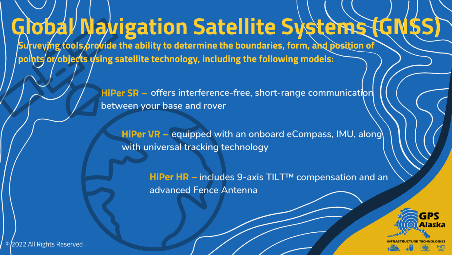
Thankfully, the days of doing trig calculations in your head while out on the job are mostly over. Global Navigation Satellite Systems (GNSS) surveying tools provide a surveyor working out in remote conditions the ability to determine the boundaries, form, and position of points or objects using satellite technology.
When it comes to GNSS, we’ve got you covered. A few of our TOPCON GNSS receivers are:
- HiPer SR – a compact receiver that offers interference-free, short-range communication between your base and rover
- HiPer VR – GNSS receiver that comes equipped with an onboard eCompass, IMU, along with universal tracking technology
- HiPer HR – This GNSS receiver includes 9-axis TILT™ compensation and an advanced Fence Antenna
Though surveying equipment comes in a variety of forms, GNSS receivers offer any surveyor the relief of knowing that the data collected is going to be accurate and reliable. And when you’re working out in remote locations in Alaska, a GNSS receiver can be your best friend.
Total Stations
If you’re in the surveying field, a total station system brings technology from the past and integrates with modern tech, making your job (and your life) much easier.
Total Stations integrate an electronic theodolite with an electronic distance meter. This modern data collection tool utilizes electronic transit theodolites in tandem with the electronic distance meter to calculate the slope distance from the station to any point or form.
Essentially, a Total Station incorporates two data collection tools in one. And when used alongside mapping software, you’re able to perform a complete or “total” surveying job, from measuring to mapping, and relay the data back to the home office.
If you’re looking for precision and reliability, the Total Station will get the job done. And we have several choice models including:
- GT Series Robot – This GT-Series Ultrasonic robotic total station offers you the ability for more accurate layouts, surveying, point plotting, and machine guidance while out on the job
- GM 100 – This manual Total Station is smaller, but extremely durable for those tough remote jobs in Alaska featuring an angle encoder system and an advanced EDM unit
- Hybrid Positioning™ – This hybrid field system combines GNSS positioning with optical robotic measurements secured to a rover pool
Since the development of Total Station systems, productivity and accuracy in the surveying field have improved tremendously. And when you’re out in the arctic on tough remote jobs, having the peace of mind that you’ll be getting accurate and reliable results is worth every penny.
Improved Accuracy and Efficiency in Data Collection
While traditional surveyors in the construction and land development sector have often performed well using time-tested tools such as mechanical theodolites. The newer methods offered through GNSS and Total Station systems have come a long way in the effort to improve accuracy and efficiency.
Trigonometry and triangulation methods are still highly valuable, as are the developed skills that a surveyor must use in order to collect the data necessary to get a job done the right way the first time. However, as traditional theodolites require line-of-sight between two points, today with GPS and GNSS technology, Total Stations can be used to include points that cannot be seen with traditional surveying techniques.
In addition, as a construction or field surveying professional, you can minimize the need for using two surveyors entirely as was the case in the past. With the aid of robotic controllers, the robot can stream a Total Station’s view to a surveyor at any given point. Even better, as a surveyor, you can then make calculations and adjustments to the target form without needing to return to the Total Station.
At the end of the day, modern data collection tools offer you the power of precision and efficiency along with increasing productivity while out in the field. And when you’re out in the arctic working in harsh conditions, getting it right the first time is worth its weight in gold. After all, walking a few miles in the snow can be a tough job in itself. But only having to do it once is going to make your job much easier, safer, and more precise.
Looking to make your job easier with the power of data collection tools? Contact GPS Alaska today and ask about powerful data collection products.