GPS Alaska
  • Home
  • Training & News
    • Training
    • News
  • Contact
    • Location
    • Staff
  • Construction
    • Machine Automation
    • GPS Surveying Systems
    • Field Controllers
    • Lasers, Levels, Laser Receivers, and Theodolites
    • Scales
    • Return On Investment
  • Survey
    • GPS Surveying Systems
    • Field Controllers
    • Levels
    • Total Stations and Theodolites
  • Mass Data Collection
    • Aerial Mapping
    • Mobile Mapping
    • Laser Scanning
  • Software
    • Construction Software
    • Survey Software
    • Mass Data & Mapping Software
    • Monitoring Software
  • TopNet Live

TOPCON 3D-MC MILLING
​EVERY MILLIMETER TOO MUCH IS ONE TOO MUCH

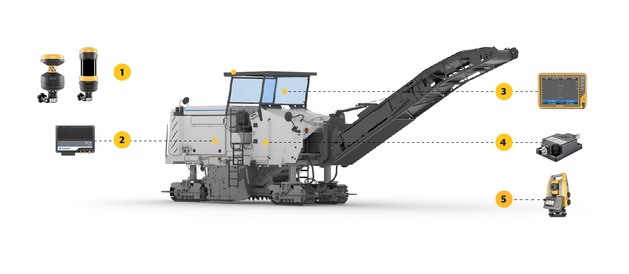
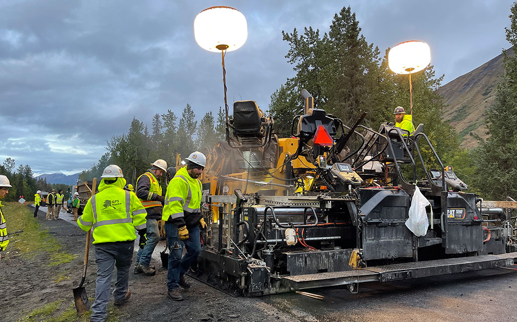
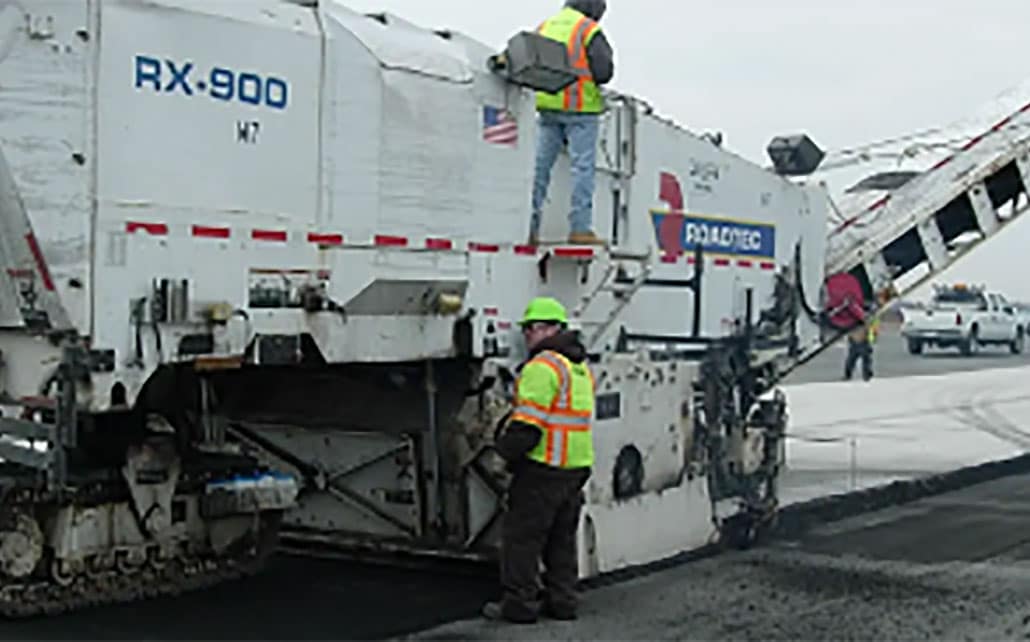
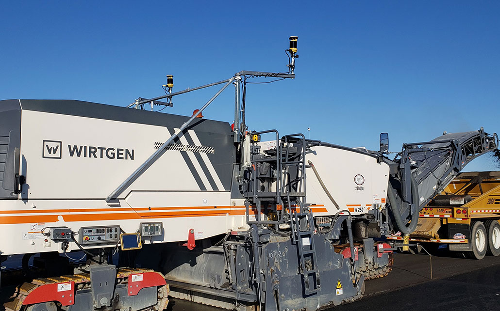
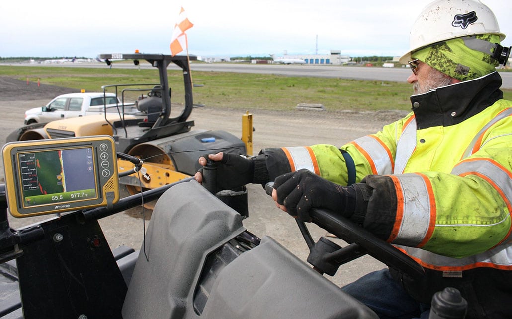
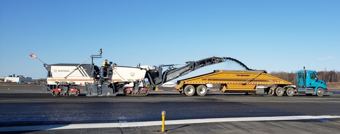
3D Milling has changed the way milling has been done. Instead of milling thickness or reading out mill-marks on the road, a 3D design model is used to dictate the milling depth.
Picture
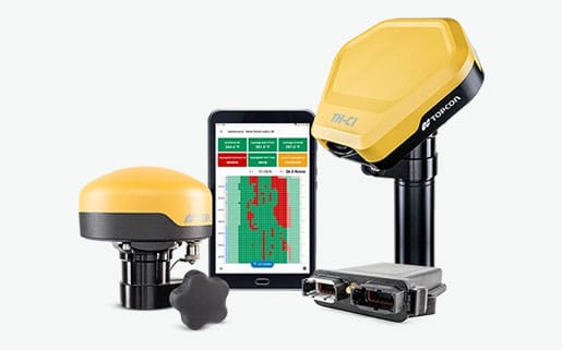
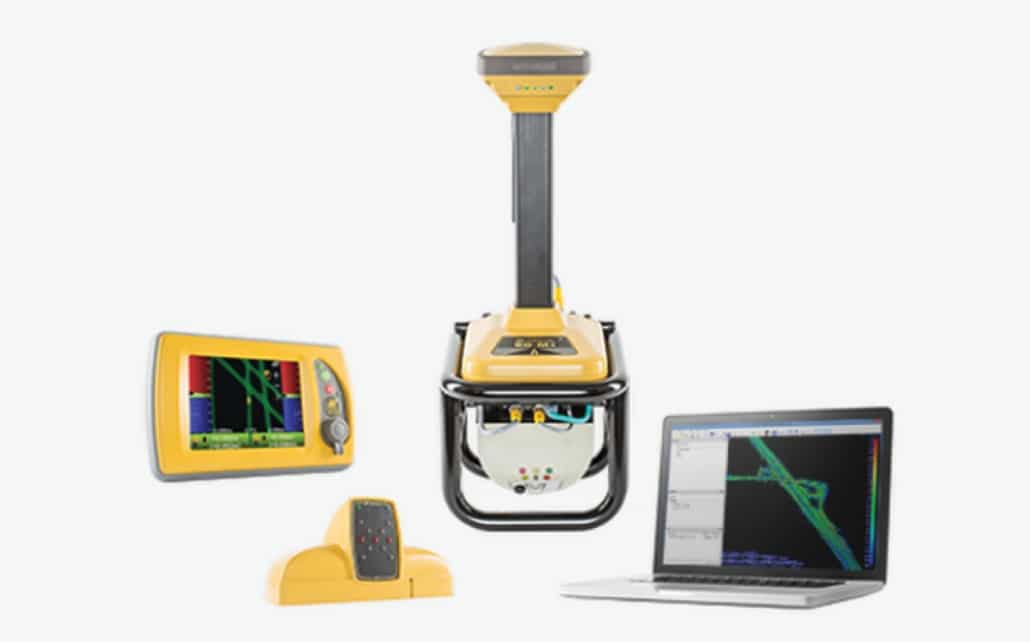
GX-60


  Features and Benefits:
  • Millimeter level accuracy
  • 2400 meter horizontal working range
  • 40 meter vertical working range
  • Multiple users in the same zone
  • Mill horizontal, vertical or combined transitions
PREDICTABLE SITE LOGISTICS
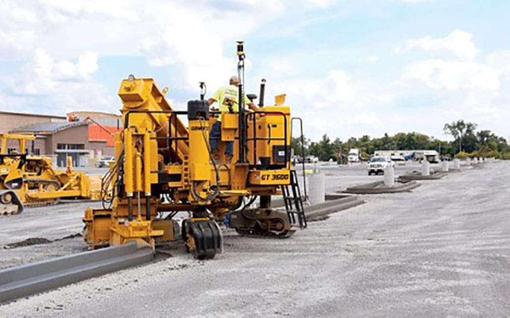
The entire set up is a lot easier, as no string lines or physical references are needed anymore. It all works from Topcon Millimeter GPS technology and a 3D design. Both the design and accurate positioning system lead the milling crew to unmatched results.

3D Milling turns site logistics to a manageable and predictable process. Taking all physical references and potential obstacles out of the process, it all bottles down to an up-front prepared 3D model. The same model can be easily used as reference again for the paver that follows later.


360 E. International Airport RD. Suite 10 Anchorage, AK 99518
Office (907)562-8000
                ​Fax (907)562-8080
                 
Picture
Picture
  • Home
  • Training & News
    • Training
    • News
  • Contact
    • Location
    • Staff
  • Construction
    • Machine Automation
    • GPS Surveying Systems
    • Field Controllers
    • Lasers, Levels, Laser Receivers, and Theodolites
    • Scales
    • Return On Investment
  • Survey
    • GPS Surveying Systems
    • Field Controllers
    • Levels
    • Total Stations and Theodolites
  • Mass Data Collection
    • Aerial Mapping
    • Mobile Mapping
    • Laser Scanning
  • Software
    • Construction Software
    • Survey Software
    • Mass Data & Mapping Software
    • Monitoring Software
  • TopNet Live