GPS Alaska
  • Home
  • Training & Updates
    • Training
    • Software Updates
    • Testimonials
  • Contact
    • Location
    • Staff
  • Construction
    • Machine Automation
    • GPS Surveying Systems
    • Field Controllers
    • Lasers, Levels, Laser Receivers, and Theodolites
    • Scales
    • Return On Investment
  • Survey
    • GPS Surveying Systems
    • Field Controllers
    • Levels
    • Total Stations and Theodolites
  • Mass Data Collection
    • Aerial Mapping
    • Mobile Mapping
    • Laser Scanning
  • Software
    • Construction Software
    • Survey Software
    • Mass Data & Mapping Software
    • Monitoring Software
  • TopNet Live

TOPCON MAGNET ENTERPRISE
ACCESS AND MANAGE YOUR BUSINESS MORE EFFECTIVELY
Secure Services For Seamless Collaboration For Project Site And Office Activities

Picture
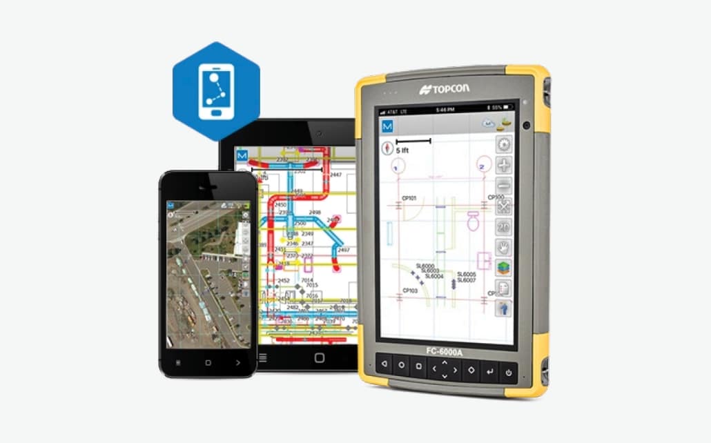
MAGNET Enterprise


​ Features And Benefits:
  • Manager's go-to tool for project coordination
  • Easy creation of geo-referenced projects
  • Redundant storage of project related data
  • Time saving services such as MAGNET Relay for mobile reference stations
  • Direct transfer with Autodesk's AutoCAD 360 service
  • Graphical map view of all project related files
  • True project management for assignment of tasks and calendar completion

​Access And Manage Your Projects Anywhere, At Anytime
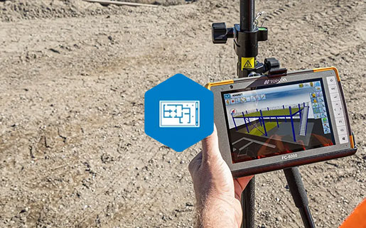
MAGNET Enterprise is a web-based environment that simplifies project tasks and directly improves field and office communications. Track your assets and communicate with each team member even while on the move. Gain secured access to project data using any web browser on any device to oversee the real-time advancement of your projects. Experience a new, better way to collaborate and save your time.
MAGNET Enterprise Brochure
360 E. International Airport RD. Suite 10 Anchorage, AK 99518
Office (907)562-8000
                ​Fax (907)562-8080
                 
Picture
Picture
  • Home
  • Training & Updates
    • Training
    • Software Updates
    • Testimonials
  • Contact
    • Location
    • Staff
  • Construction
    • Machine Automation
    • GPS Surveying Systems
    • Field Controllers
    • Lasers, Levels, Laser Receivers, and Theodolites
    • Scales
    • Return On Investment
  • Survey
    • GPS Surveying Systems
    • Field Controllers
    • Levels
    • Total Stations and Theodolites
  • Mass Data Collection
    • Aerial Mapping
    • Mobile Mapping
    • Laser Scanning
  • Software
    • Construction Software
    • Survey Software
    • Mass Data & Mapping Software
    • Monitoring Software
  • TopNet Live