GPS Alaska
  • Home
  • Training & News
    • Training
    • News
  • Contact
    • Location
    • Staff
  • Construction
    • Machine Automation
    • GPS Surveying Systems
    • Field Controllers
    • Lasers, Levels, Laser Receivers, and Theodolites
    • Scales
    • Return On Investment
  • Survey
    • GPS Surveying Systems
    • Field Controllers
    • Levels
    • Total Stations and Theodolites
  • Mass Data Collection
    • Aerial Mapping
    • Mobile Mapping
    • Laser Scanning
  • Software
    • Construction Software
    • Survey Software
    • Mass Data & Mapping Software
    • Monitoring Software
  • TopNet Live

TOPCON MAGNET OFFICE TOPO
PROVEN. INTUITIVE. CONNECTED.
The Transition Point For Your Data's Journey

Picture
MAGNET Office Topo


​  Features And Benefits:
  • Full sub-division design tools
  • Contour and surface creation, volumetrics, and automated pad design
  • User defined Title Blocks, Symbols, and Linetypes
  • Optionally icon driven or Command Line Interface (CLI)
  • Additionally includes MAGNET Office Tools process and reporting software
  • Secure and direct connectivity to your MAGNET Company Account for collaboration

​Smart Processing And Design
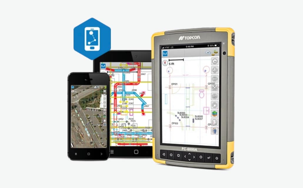
MAGNET Office software's Topo module includes customizable drafting and design tools for property plots, subdivision design, and land development projects. Process your data within an intuitive drafting environment to create simple or complex drawing layouts. Prepare and share your data to be used by land surveyors, civil engineers, and machine operators.
MAGNET Office Topo
360 E. International Airport RD. Suite 10 Anchorage, AK 99518
Office (907)562-8000
                ​Fax (907)562-8080
                 
Picture
Picture
  • Home
  • Training & News
    • Training
    • News
  • Contact
    • Location
    • Staff
  • Construction
    • Machine Automation
    • GPS Surveying Systems
    • Field Controllers
    • Lasers, Levels, Laser Receivers, and Theodolites
    • Scales
    • Return On Investment
  • Survey
    • GPS Surveying Systems
    • Field Controllers
    • Levels
    • Total Stations and Theodolites
  • Mass Data Collection
    • Aerial Mapping
    • Mobile Mapping
    • Laser Scanning
  • Software
    • Construction Software
    • Survey Software
    • Mass Data & Mapping Software
    • Monitoring Software
  • TopNet Live