Paver & Milling Machine Control Systems
Ensure Smooth & Accurate Paving No Matter the Surface
Pave Your Way to a Better Workflow With Topcon Paving Systems in Alaska
Deliver smooth roadways and concrete surfaces the first time around with sophisticated machine control systems and other innovative solutions. From parking lots to major highways, complete paving projects in a portion of the time with software that can scan, create 3D models, mill, compact, and more.
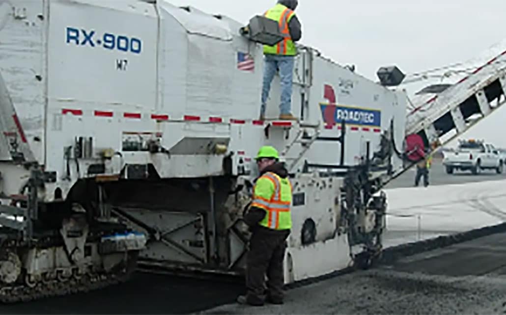
Paver & Milling Machine
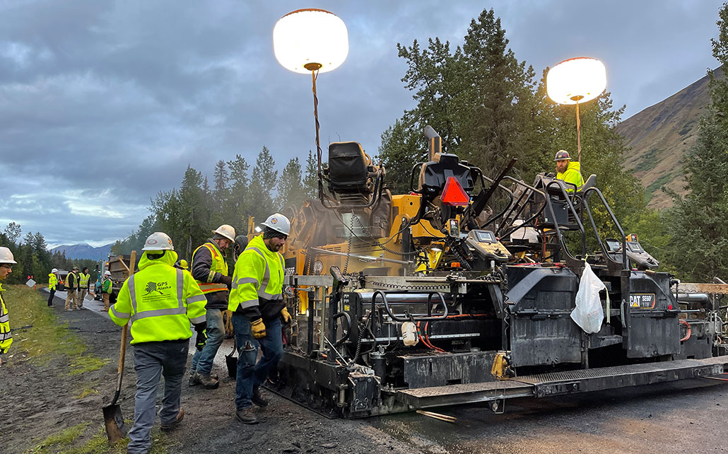
P-32 Paver System
2-D Screed control paving system that improves accuracy, material thickness, and smoothness.
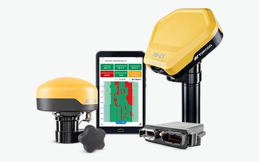
TH-M1 Thermal Mapper
Paving monitoring system that reports on asphalt temperatures and thermal segregation.
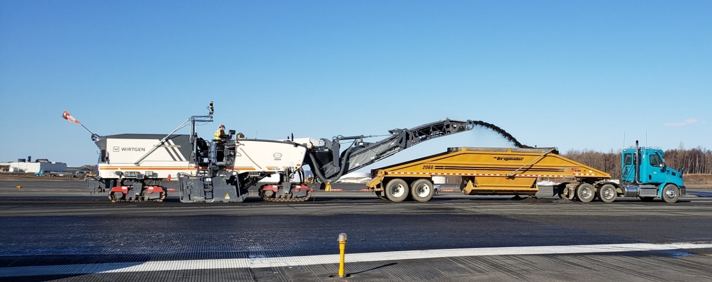
P-32 2D Milling System
The P-32 2D milling system provides smooth results for elevation and slope control by using a sonic averaging system, slope sensors and end gate sensors
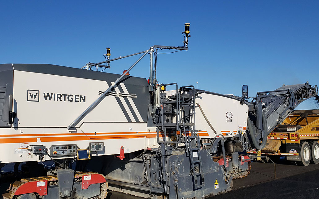
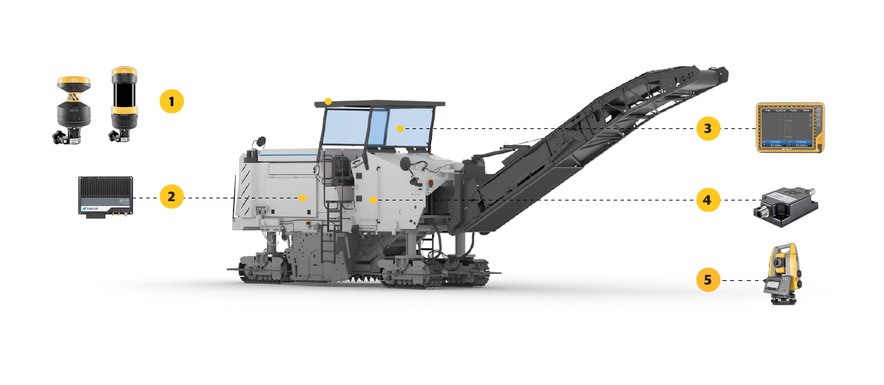
mmGPS Milling
3D milling machine control systems that allows you to control milling depth and offer millimeter-level accuracy.
Curb & Gutter
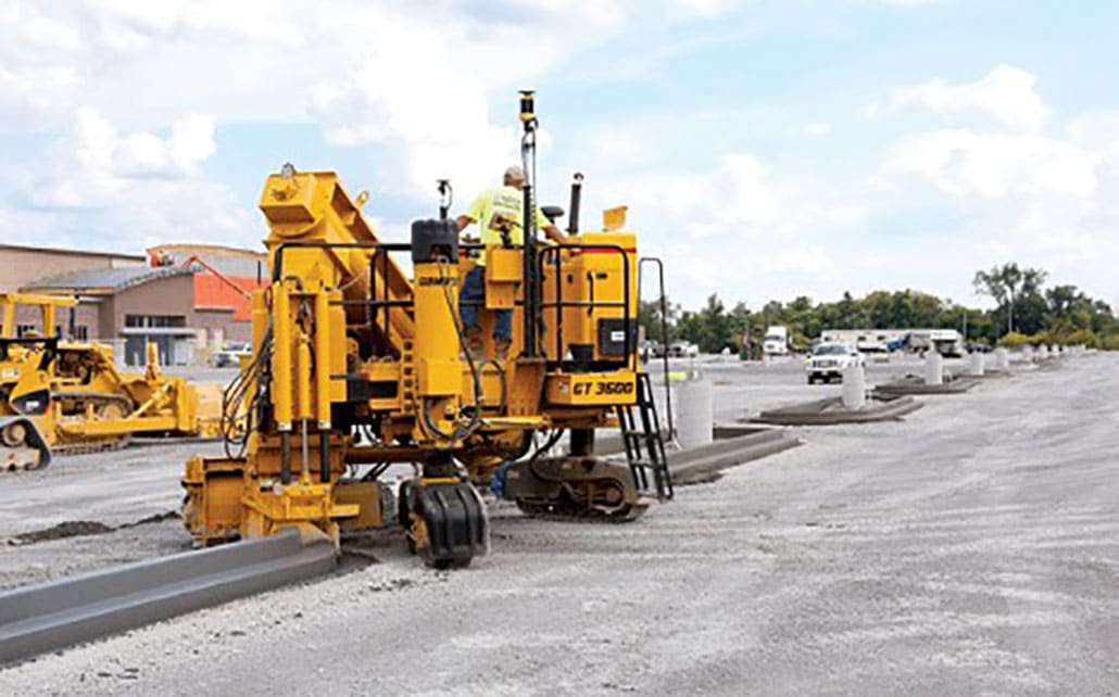
3D-MC Asphalt
Curb and Gutter with no stakes or string lines. This technology will increase the precision and efficiency of your curb and gutter machine.
Smoothride
SmoothRide™ Solution
Topcon’s proprietary road resurfacing solution that uses an advanced scanner to map road surfaces and utilizes 3D machine control systems to ensure the smoothest surface possible.
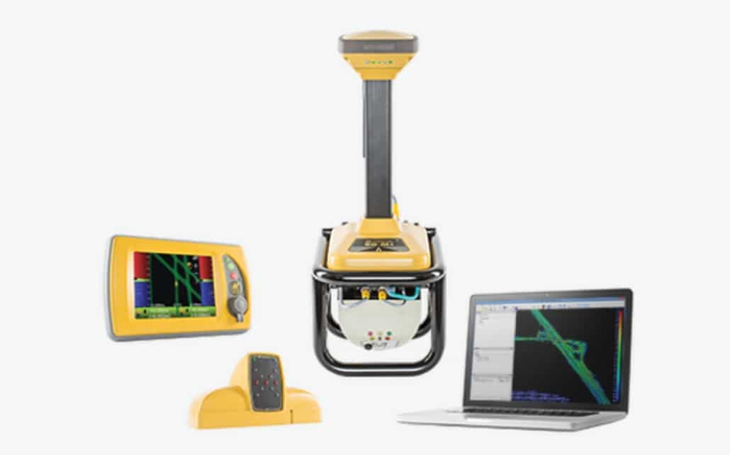
Asphalt Compacting
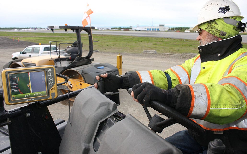
C-53 Intelligent Compaction
Leveraging multiple integrated temperature sensors, ruggedized GNSS tech, and accelerometers the C-53 systems will streamline your compaction process.