GPS Alaska
  • Home
  • Training & News
    • Training
    • News
  • Contact
    • Location
    • Staff
  • Construction
    • Machine Automation
    • GPS Surveying Systems
    • Field Controllers
    • Lasers, Levels, Laser Receivers, and Theodolites
    • Scales
    • Return On Investment
  • Survey
    • GPS Surveying Systems
    • Field Controllers
    • Levels
    • Total Stations and Theodolites
  • Mass Data Collection
    • Aerial Mapping
    • Mobile Mapping
    • Laser Scanning
  • Software
    • Construction Software
    • Survey Software
    • Mass Data & Mapping Software
    • Monitoring Software
  • TopNet Live
  • Blog

TOPCON SMOOTHRIDE SOLUTION
RESURFACING WORKFLOW
There’s No Reason To Resurface With Inadequate Information Or Workflow Any Longer. Introducing SmoothRide, The World’s Most Advanced Road Resurfacing Solution. Save Time. Lower Costs. Deliver Results.

SCAN

Picture
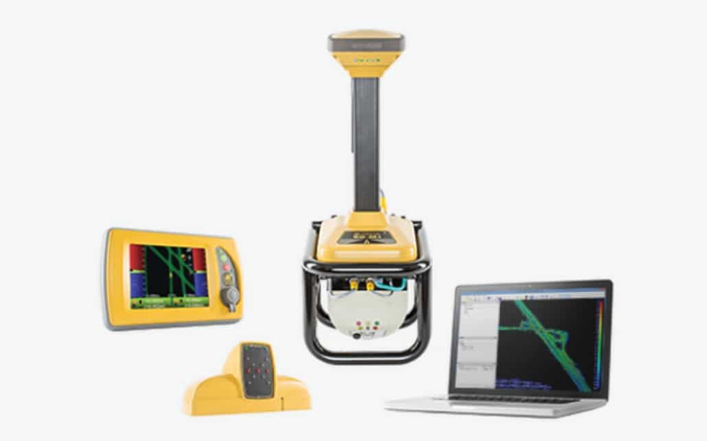
Scan miles of road in short time, collecting detailed road surface data without the need for costly lane closures or re-work.  ​
  • Survey and pave the next day
  • Scan at up to 100x per second
  • Collect data safely from the cab, without lane closures

DESIGN

Picture
Our resurfacing software gives you powerful tools necessary for paving or milling projects, and is far easier to use than other products on the market.​
  • Develop CAD plans, convert to 3D models
  • Produce fast calculations, cross slopes, transitions, smoothing, milling, lifts, and more
  • Export files directly to your milling and paving control systems

MILL

Picture
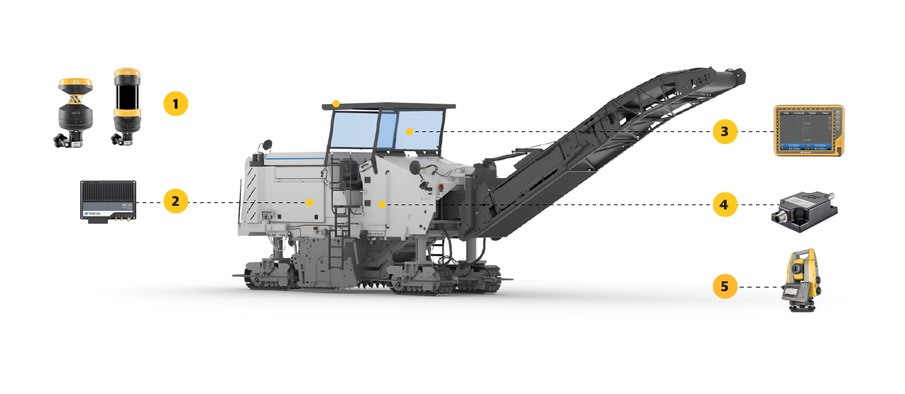
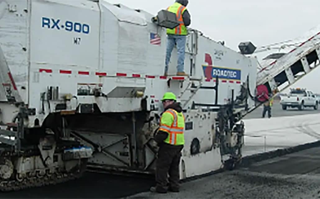
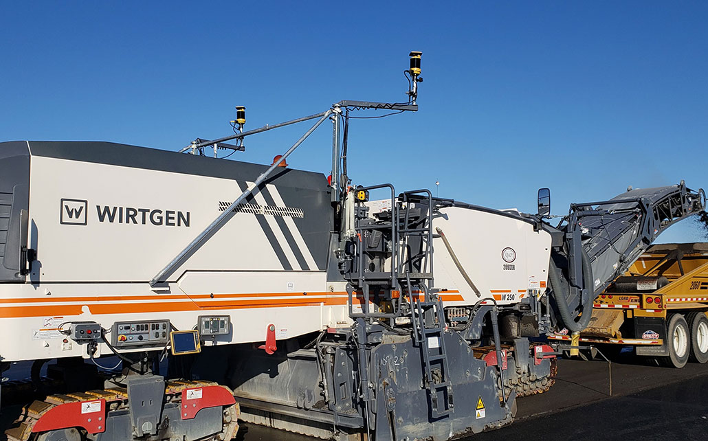
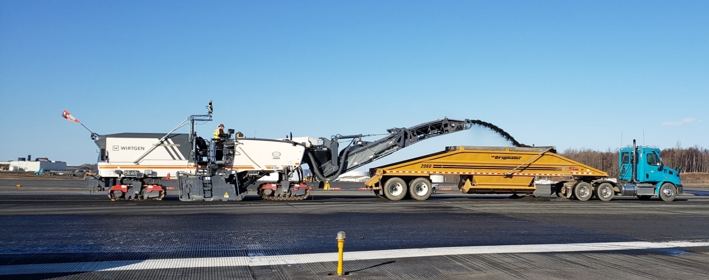
With your milling machine equipped with our 3D Machine control, it knows its exact position on the road at all times, creating the smoothest surface possible for your paver to follow. ​
  • Variable depth milling
  • Mill one time and deliver a smooth surface
  • Increase productivity and mill only what’s necessary

PAVE

Picture
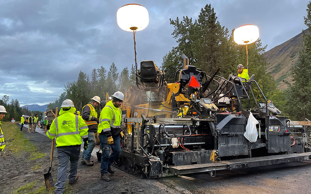
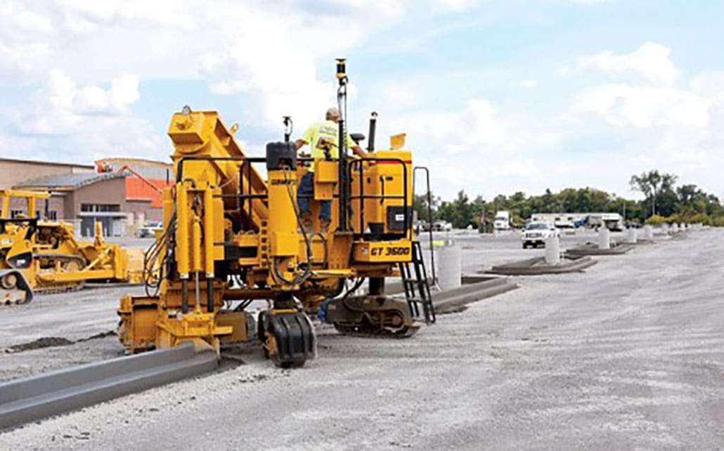
Paving has never been easier, faster, or more accurate. Precise thickness control with compensation for differential compaction is delivered through machine control guidance in the first pass.​
  • Reduce number of lifts required to reach finish design
  • Manage materials to stay within acceptable yields
  • Account for differential compaction as the surface dictates

COMPACT

Picture
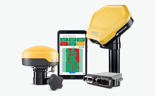
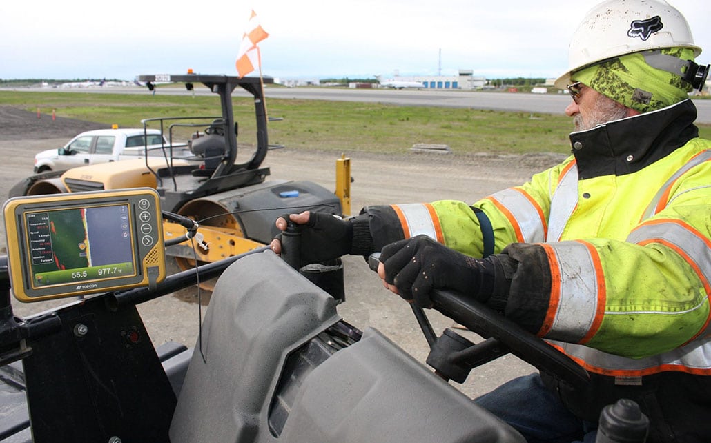
Our “intelligent compaction” ready systems meet all DOT and government standards. Save time and money by taking all the guesswork out and getting the best results with the minimal amount of passes.​
  • Collect and use data in real time for stiffness, density, and temperature control
  • Get consistent results through constant feedback into the system
  • Deliver accurate surface stiffness and temperature values as well as the number of passes through reports to meet regulatory standards

Better, From Start To Finish

Welcome to a better way to pave and mill. Our SmoothRide system makes your projects safe, easy, and more efficient. The need for traffic lane closures is gone, quick 3D scanning has replaced hours of cross-section measurements, and intuitive software now delivers better results throughout the paving and milling process.

​
Picture
  Features and Benefits
  • Safely collect at speed without lane closures. 
  • Resurfacing specific software – including on demand tonnage updates as you adjust your design
  • Achieve rideability and satisfy regulatory guidelines
  • Variable depth milling
  • Uniform thickness paving
  • Consistent smoothness for miles of paving or milling
  • Account for differential compaction 
  • Eliminate the need for averaging skis
  • Eliminate time consuming and costly survey work
  • Bid and spec jobs in advance with accurate surface data
  • Maximize man hours and materials, eliminating the need for re-work

Simple Workflow, Big Savings On Time And Money

COLLECT - Plan and conduct detailed road surface scanning sessions without the need for costly lane closures or re-work. The easy to install scanner collects millions of data points that are collected safely from the cab of the truck. So surveying the road surface is as simple as pressing the start button on your laptop.


DESIGN – Make your job come alive and efficiently create and manage large point cloud information with our intuitive “Mobile Master Office” software. Once done, a seamless transfer into MAGNET Office software’s unique “Resurfacing” module brings out the full array of software features needed to meet smoothness and cross slope requirements while adhering to any minimum or maximum thickness specified for the job.


CONTROL - At the project site, results are real and immediate enabling you to continue with paving or milling on the same day that scans were collected.
CONTACT US TO LEARN MORE
360 E. International Airport RD. Suite 10 Anchorage, AK 99518
Office (907)562-8000
                ​Fax (907)562-8080
                 
Picture
Picture
  • Home
  • Training & News
    • Training
    • News
  • Contact
    • Location
    • Staff
  • Construction
    • Machine Automation
    • GPS Surveying Systems
    • Field Controllers
    • Lasers, Levels, Laser Receivers, and Theodolites
    • Scales
    • Return On Investment
  • Survey
    • GPS Surveying Systems
    • Field Controllers
    • Levels
    • Total Stations and Theodolites
  • Mass Data Collection
    • Aerial Mapping
    • Mobile Mapping
    • Laser Scanning
  • Software
    • Construction Software
    • Survey Software
    • Mass Data & Mapping Software
    • Monitoring Software
  • TopNet Live
  • Blog