GPS Alaska
  • Home
  • Training & News
    • Training
    • News
  • Contact
    • Location
    • Staff
  • Construction
    • Machine Automation
    • GPS Surveying Systems
    • Field Controllers
    • Lasers, Levels, Laser Receivers, and Theodolites
    • Scales
    • Return On Investment
  • Survey
    • GPS Surveying Systems
    • Field Controllers
    • Levels
    • Total Stations and Theodolites
  • Mass Data Collection
    • Aerial Mapping
    • Mobile Mapping
    • Laser Scanning
  • Software
    • Construction Software
    • Survey Software
    • Mass Data & Mapping Software
    • Monitoring Software
  • TopNet Live

TOPCON SMOOTHTRAC
ADVANCED SCREED CONTROL

Topcon's Smoothtrac Sonic Averaging System is a proven advantage over a traditional mechanical ski.

Advantages Of Smoothtrac Vs A Mechanical Ski

Superior Smoothness And Ride-Ability
Smoothtrac uses four non-contacting Sonic Trackers which are positioned along a 25 Ft. aluminum beam.  Choose dual sided Smoothtracs, or run on one side with a Sonic Tracer or Slope Sensor to control the other side.
Smoothtrac Performance? We've Got Proof!
Here’s a portion of a state certified longitudinal section profiligraph. Though milling recommended (shown in red), none took place.
Picture
Saves Set Up And Tear Down Time.
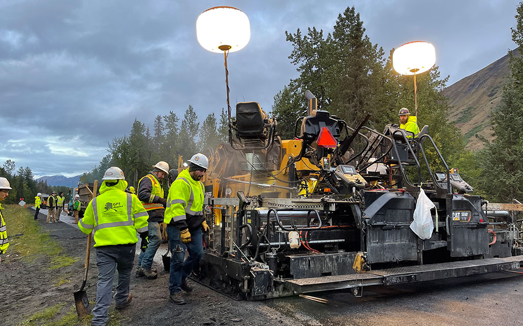
Smoothtrac consists of an aluminum beam, four Sonic Trackers and cords and weighs a fraction of a  mechanical ski.  Save time whenever you have to get started, turn around , back up or remove the system.
Picture
Easier To Transition From The SAS To A Single Sonic Tracker
Just unplug the SAS cord and plug directly into a  Sonic Tracker for matching a joint or tracking off a curb, stringline etc.  The Smoothrac can quickly be folded up and left alongside the asphalt paver.
Smoothtrac Product Brochure
360 E. International Airport RD. Suite 10 Anchorage, AK 99518
Office (907)562-8000
                ​Fax (907)562-8080
                 
Picture
Picture
  • Home
  • Training & News
    • Training
    • News
  • Contact
    • Location
    • Staff
  • Construction
    • Machine Automation
    • GPS Surveying Systems
    • Field Controllers
    • Lasers, Levels, Laser Receivers, and Theodolites
    • Scales
    • Return On Investment
  • Survey
    • GPS Surveying Systems
    • Field Controllers
    • Levels
    • Total Stations and Theodolites
  • Mass Data Collection
    • Aerial Mapping
    • Mobile Mapping
    • Laser Scanning
  • Software
    • Construction Software
    • Survey Software
    • Mass Data & Mapping Software
    • Monitoring Software
  • TopNet Live