Earthmoving Machine Control Systems
Streamline Your Earthmoving Operation and Innovate Your Worksite
Integrate Your Fleet With the Best Topcon Earthmoving Systems in Alaska
Harness the power of machine control with a variety of systems designed to the take your earthmoving equipment to the next level. Empower your team to work smarter, faster, and better. With the best field software and machine control systems on the market, you remove the guesswork and radically improve productivity.
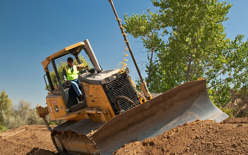
Grading
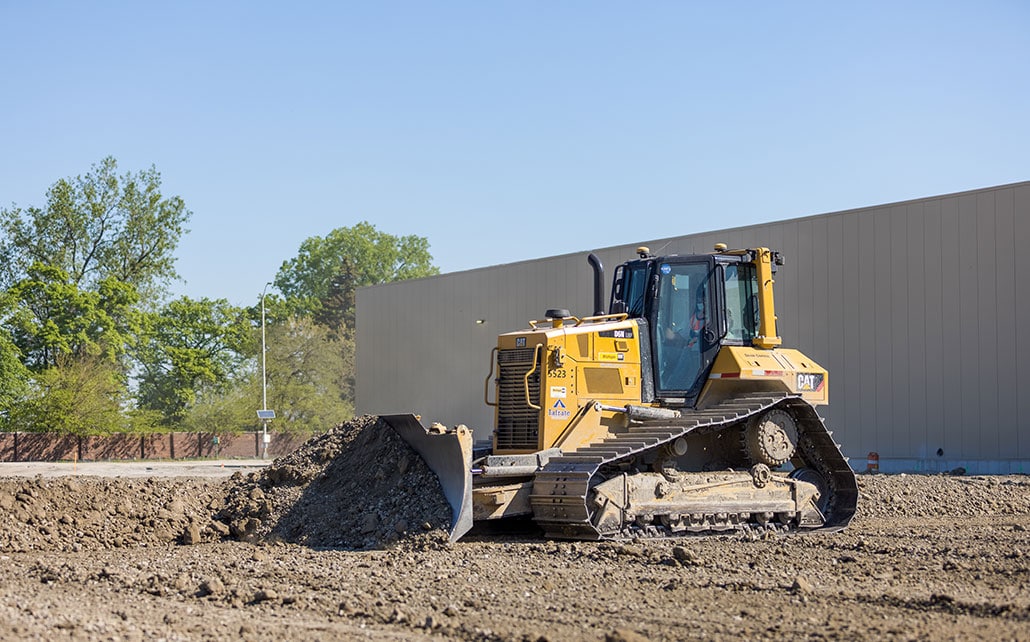
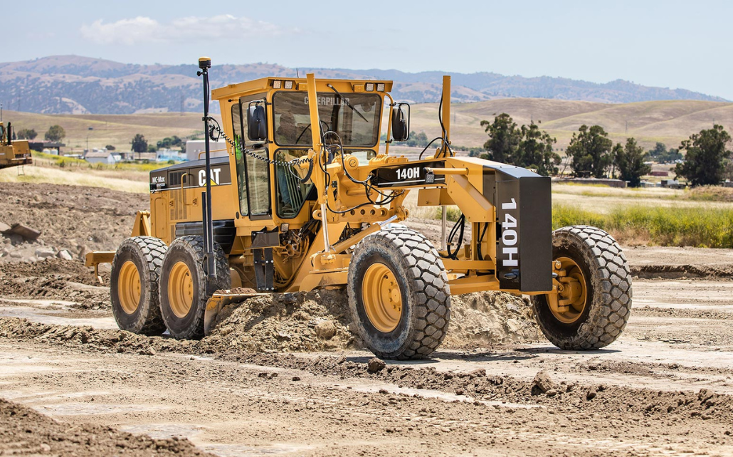
MC-Max Dozer
The Mastless MC-Max system delivers the highest productivity dozer solution for any rough or fine grading application providing maximum speed, control, and performance.
3D-MC Platform
3D-MC increases your bottom line on road building, site work, contour grading, or any other complex surface grading projects.
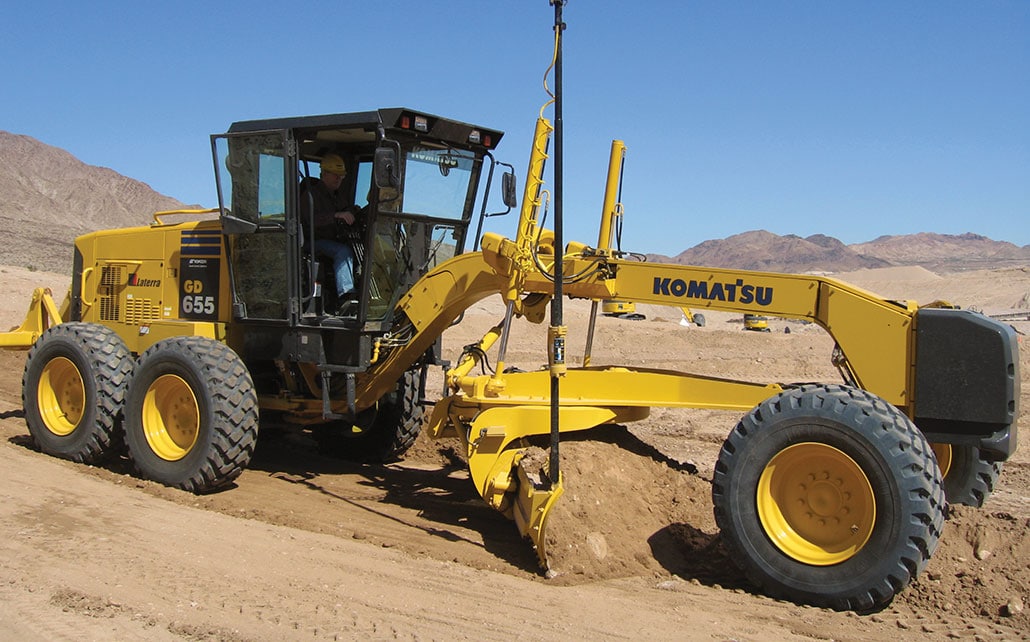
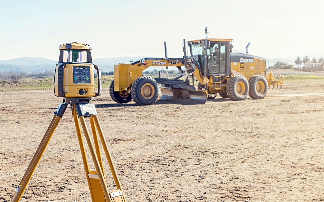
3D MC² Grader
3D-MC² raises performance up to 200% over existing 3D grader systems. Finish grades at higher speeds and tighter tolerances.
2D-MC
Enhance your compact machine capabilities with Topcon’s 2D-MC to achieve unmatched precision and efficiency in your operations.
mmGPS Grader
For millimeter accuracy, our GNSS technology combined with land-based laser transmitter gives fine grading and instant upgrade.

MC-X Platform
The MC-X is a modular machine control platform that adapts to your needs – providing flexible grade control guidance, GNSS reception, and cloud connectivity.
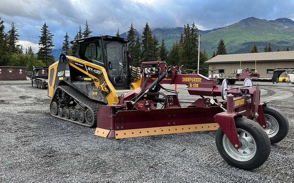
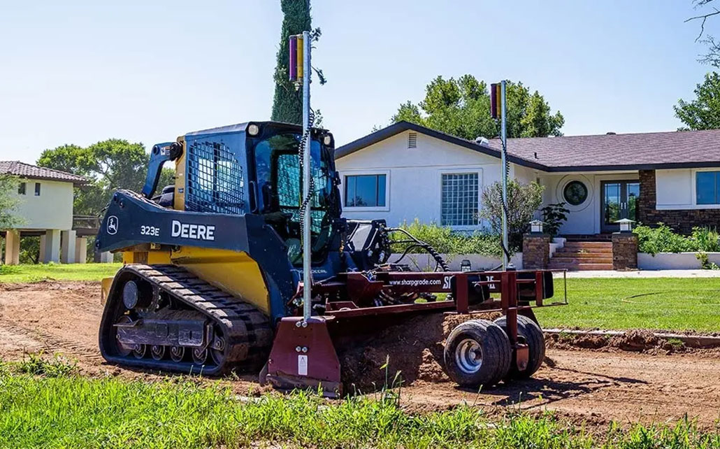
SharpGrade Solutions
Experience precision grading for optimal results with advanced technology from SharpGrade to save time, resources, and money.
MC-Mobile
MC-Mobile is modular, quick to learn and easy to use. Layout, machine control and grade checking in one system.
MC-Max Grader
The MC-Max Grader is built on the MC-X Platform, which optimizes your machine for positioning and control needed for the job at hand.
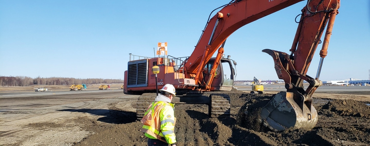
Excavation
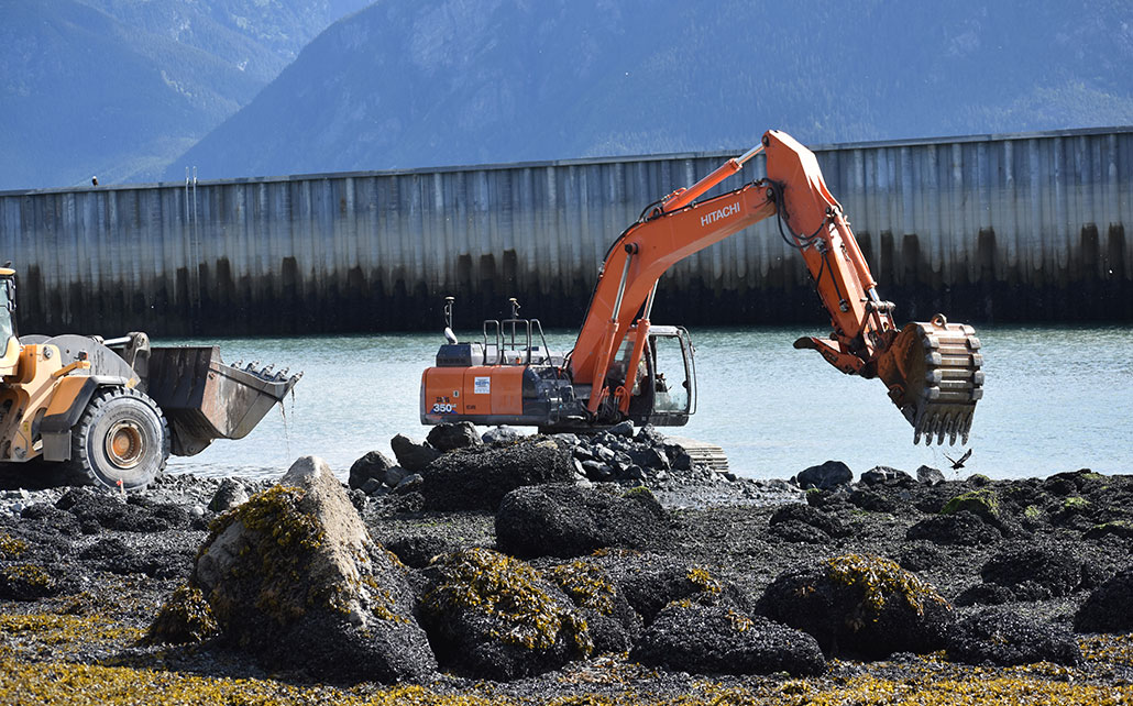
3D-MC Excavator
The 3D-MC Excavator machine controls systems with the most precise GPS positioning tech and 30% productivity gains.
MC-Max Excavator
The MC-Max excavator system offers a fully configurable platform for 2D, 3D, and fully automatic controls.
iDig
The iDig grade control system is an affordable and versatile 2D machine control installed without a cable system and used on multiple machines.
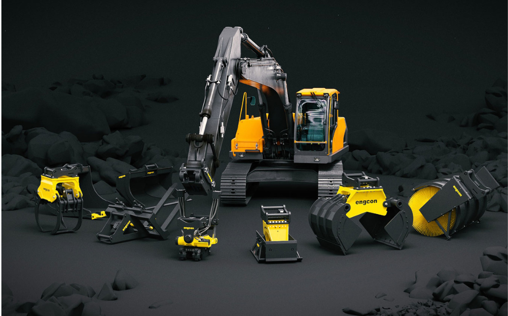
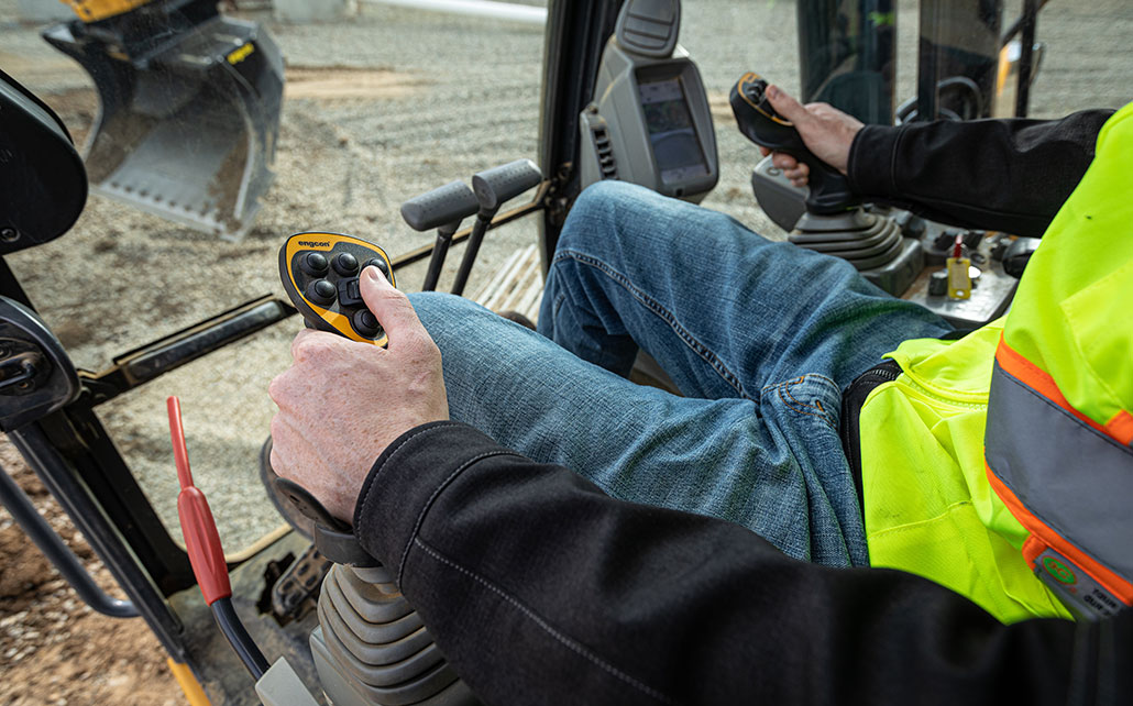
Encon Tilt Rotators
The versatility you need, you get from the engcon tiltrotator. You can work in narrow spaces without having to move the machine, and you can change tools quickly and easily.
Compact Machines
MC-Mobile
MC-Mobile is modular, quick to learn and easy to use. Layout, machine control and grade checking in one system.
Haul Truck

Sitelink3D v2 Haul Truck
Hands-free software that provides remote haul monitoring and comprehensive reporting.
Drill Rig
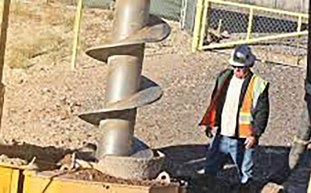
DR-53i Drill Rig Indicate System
DR-53i saves operators time, costs and hassles of traditional drill rig workflows.