GPS Alaska
  • Home
  • Training & News
    • Training
    • News
  • Contact
    • Location
    • Staff
  • Construction
    • Machine Automation
    • GPS Surveying Systems
    • Field Controllers
    • Lasers, Levels, Laser Receivers, and Theodolites
    • Scales
    • Return On Investment
  • Survey
    • GPS Surveying Systems
    • Field Controllers
    • Levels
    • Total Stations and Theodolites
  • Mass Data Collection
    • Aerial Mapping
    • Mobile Mapping
    • Laser Scanning
  • Software
    • Construction Software
    • Survey Software
    • Mass Data & Mapping Software
    • Monitoring Software
  • TopNet Live

TOPCON X-53 EXCAVATOR
INCREASE YOUR DIGGING POWER

Lightweight Excavator System Control
Picture
GX-55 Control Box
 
​  Features And Benefits:
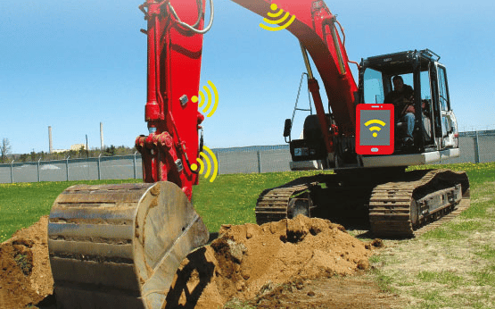
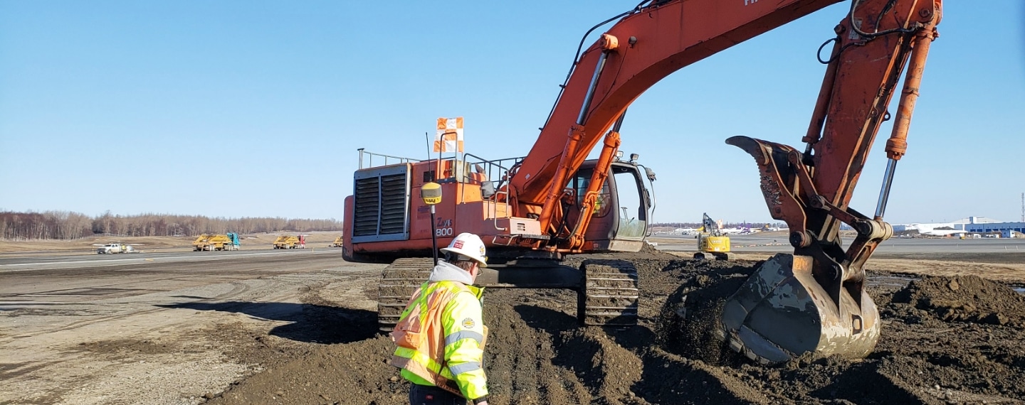
  • Positioned by GNSS, work toward the proper design grade without any additional set-up
  • System design allows for easy component swap with other machines
  • Drive the system using a GX-55 control box and stay intuitively in control with optional audible alarms and vivid LED displays for accuracy and speed
  • Control the bucket using multiple heads-up display options and optionally guide by elevation reference for full site control
  • Securely send and receive latest design changes through direct connectivity into the Sitelink3D system
Excavate With Full Potential
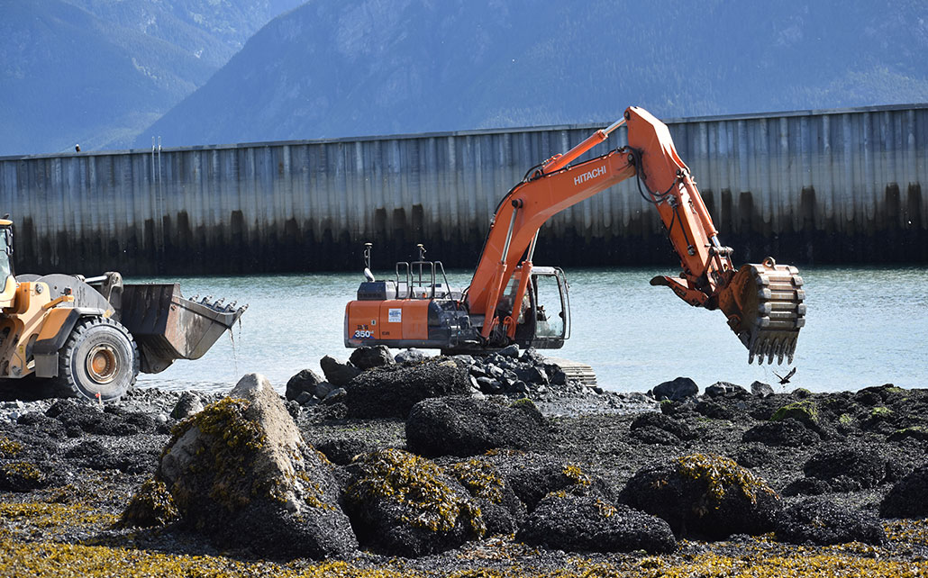
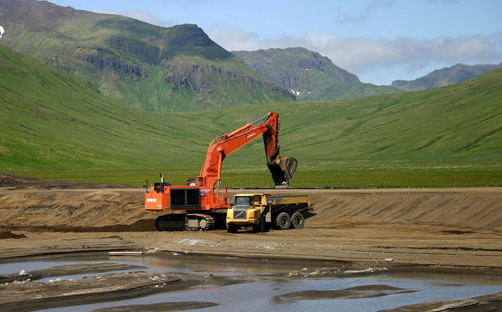
Connect and unleash the power of your excavator with a modern 3D control system.

​Guided by GNSS, you can make your grade anywhere on site without any additional set-up. The powerful LED driven control box will be your eyes and ears while our automatic GNSS receiver keeps you where you need to be.
X-53 Product Brochure
360 E. International Airport RD. Suite 10 Anchorage, AK 99518
Office (907)562-8000
                ​Fax (907)562-8080
                 
Picture
Picture
  • Home
  • Training & News
    • Training
    • News
  • Contact
    • Location
    • Staff
  • Construction
    • Machine Automation
    • GPS Surveying Systems
    • Field Controllers
    • Lasers, Levels, Laser Receivers, and Theodolites
    • Scales
    • Return On Investment
  • Survey
    • GPS Surveying Systems
    • Field Controllers
    • Levels
    • Total Stations and Theodolites
  • Mass Data Collection
    • Aerial Mapping
    • Mobile Mapping
    • Laser Scanning
  • Software
    • Construction Software
    • Survey Software
    • Mass Data & Mapping Software
    • Monitoring Software
  • TopNet Live