GPS Alaska
  • Home
  • Training & News
    • Training
    • News
  • Contact
    • Location
    • Staff
  • Construction
    • Machine Automation
    • GPS Surveying Systems
    • Field Controllers
    • Lasers, Levels, Laser Receivers, and Theodolites
    • Scales
    • Return On Investment
  • Survey
    • GPS Surveying Systems
    • Field Controllers
    • Levels
    • Total Stations and Theodolites
  • Mass Data Collection
    • Aerial Mapping
    • Mobile Mapping
    • Laser Scanning
  • Software
    • Construction Software
    • Survey Software
    • Mass Data & Mapping Software
    • Monitoring Software
  • TopNet Live

TOPCON X-53x EXCAVATOR
UPGRADE YOUR EXCAVATING
Faster, Modular 3D System

Picture
X-53x
   

​  Features and Benefits:
  • Cut grade fast and accurately
  • Cut flat, vertical and 3D surfaces
  • Fully upgradeable
  • Real-time bucket tracking
  • Completely integrated GR-i3 receivers 

Get A 30% Gain In Excavating Productivity

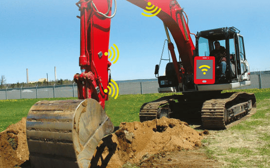
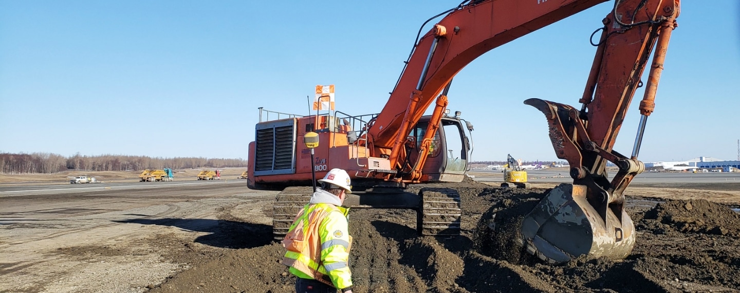
This advanced 3D excavator system is a faster, modular and easily upgradeable solution for excavation. The X-53x maximizes the output of your excavator up to 30 percent more than machines without a 3D system. Because the X-53x system uses the latest 500kbps Baud Rate TS-i3 sensors and the MC-X1 controller, it is future-proofed and ready to be upgrdaded to planned excavator control feature enhancements.
​

The X-53x system features fully integrated multi-constellation GR-i3 receivers for precise positioning of the boom, stick and bucket. Every bucket movement is tracked in real-time, quickly directing you to centerlines and guiding you right to grade.

Integrated Power

The X-53x system features fully integrated multi-constellation GR-i3 receivers for precise positioning of the boom, stick and bucket at all times. The GR-i3 is designed as an integrated GNSS receiver and antenna all in one, providing powerful performance in harsh environmental conditions.
X-52x/X53x Brochure
360 E. International Airport RD. Suite 10 Anchorage, AK 99518
Office (907)562-8000
                ​Fax (907)562-8080
                 
Picture
Picture
  • Home
  • Training & News
    • Training
    • News
  • Contact
    • Location
    • Staff
  • Construction
    • Machine Automation
    • GPS Surveying Systems
    • Field Controllers
    • Lasers, Levels, Laser Receivers, and Theodolites
    • Scales
    • Return On Investment
  • Survey
    • GPS Surveying Systems
    • Field Controllers
    • Levels
    • Total Stations and Theodolites
  • Mass Data Collection
    • Aerial Mapping
    • Mobile Mapping
    • Laser Scanning
  • Software
    • Construction Software
    • Survey Software
    • Mass Data & Mapping Software
    • Monitoring Software
  • TopNet Live