Surveying Equipment & Software Solutions
Deliver the Most Precise Survey Data Every Time
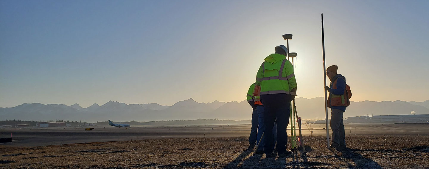
Streamline Your Surveying Operation With the Best Topcon Technology in Alaska
As a field surveyor or construction surveyor, you rely on the most advanced surveying equipment and software to work as accurately and efficiently as possible while increasing profitability. Utilize products that provide consistent, reliable results every time whether you’re establishing property boundaries, gathering topography data, or planning a construction project.
GNSS
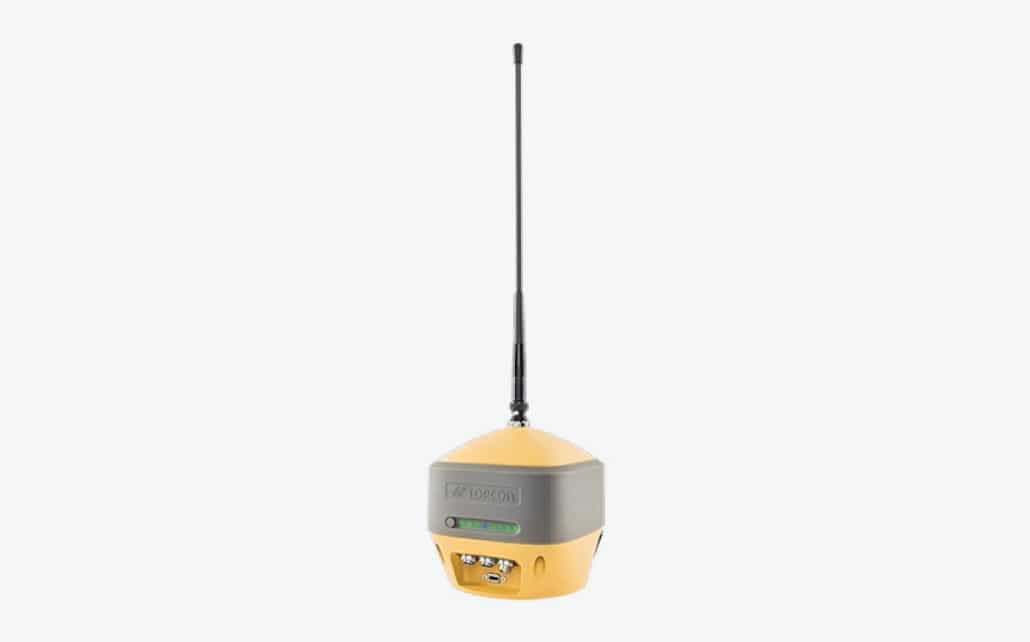
HiPer HR
Multi-purpose GNSS receiver that utilizes an advanced Fence Antenna and a 9-axis TILT™ compensation.
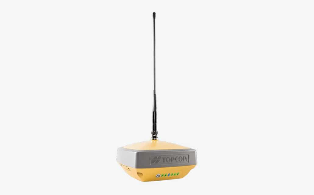
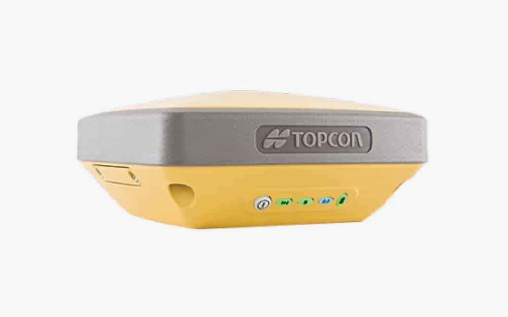
HiPer VR
Compact, rugged GNSS receiver with an integrated IMU, eCompass, and Universal Tracking Channel Technology.
HiPer SR
A compact, entry-level receiver that allows for interference-free, short-range wireless communication between a base and rover.
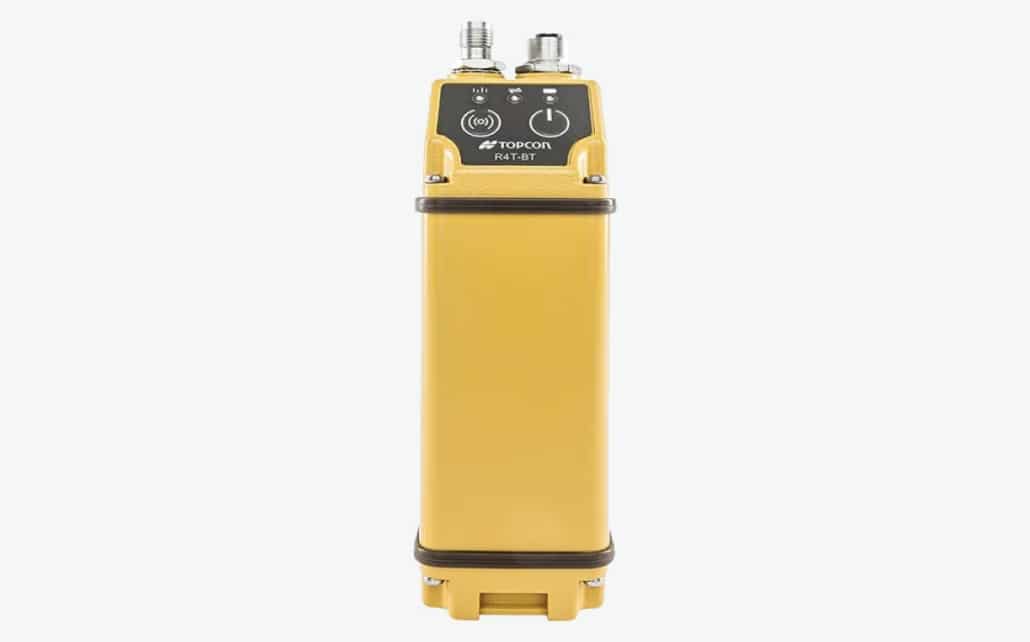
R4T-BT
External radio designed for the Topcon HiPer GNSS receiver product line with superior RTK performance.
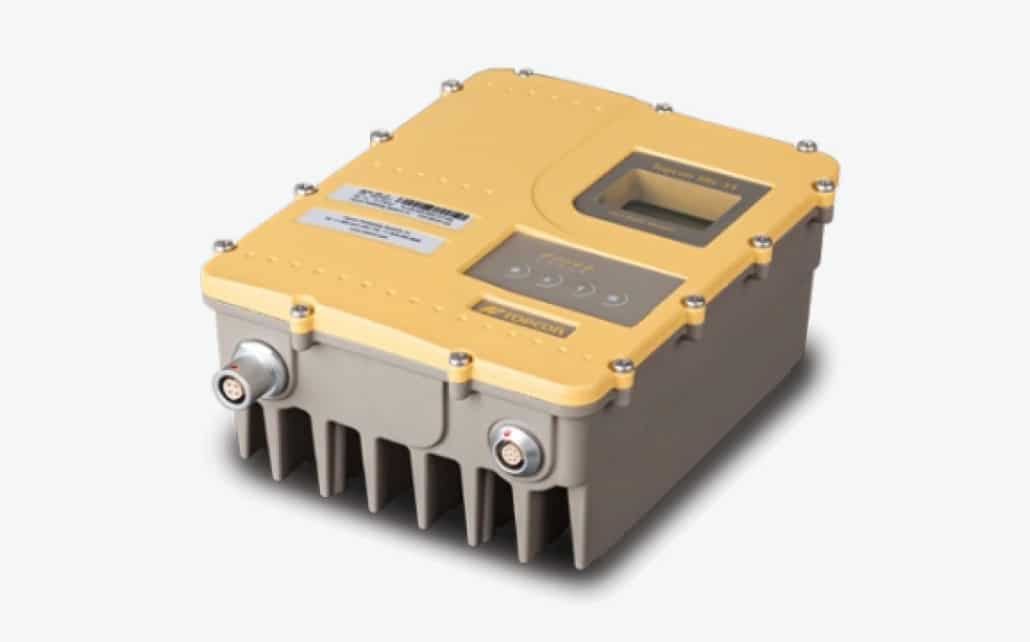
SRL-35
Project site UHF radio with a with a customizable output power up to 35 watts and built to IP67 standards.
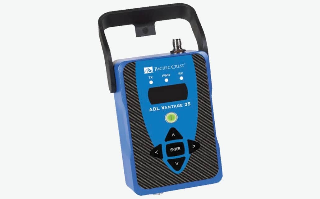
ADL Vantage 35
Sophisticated 2-35 watt radio modem utilizing a high-speed, wireless Advanced Data Link (ADL).
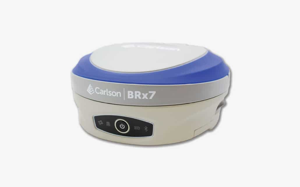
BRx7
Lightweight GNSS receiver with SurvCE/SurvPC that offers a GNSS RTK solution for precise surveys.
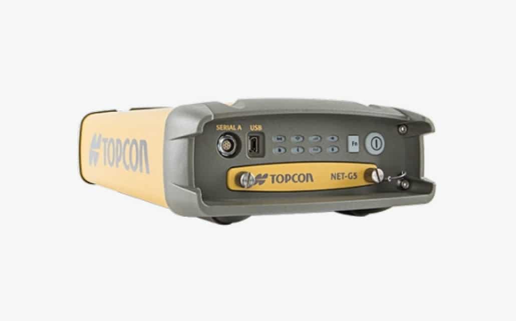
NET-G5
Self-reliant reference station receiver that offer efficient tracking across the entire GNSS spectrum.
MAGNET Relay
GNSS connection services hosted by MAGNET Enterprise that supports up to 10 GNSS rovers via a cellular connection.
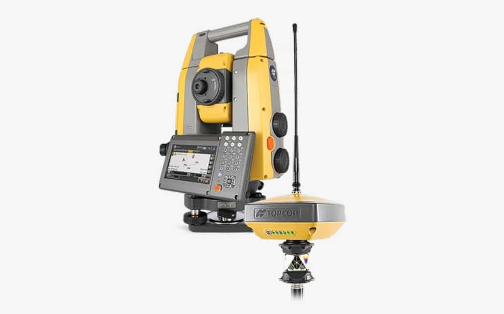
Total Stations
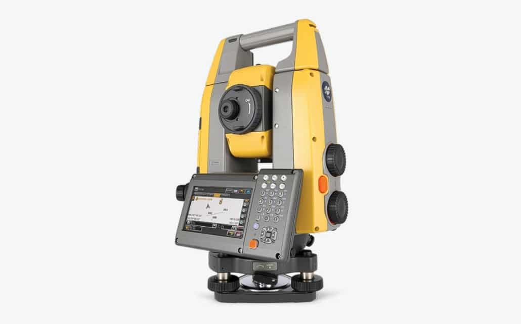
GT Series Robot
GT-Series Ultrasonic robotic total station that allows for more accurate and efficient point plotting for lay outs, surveys, and machine guidance.
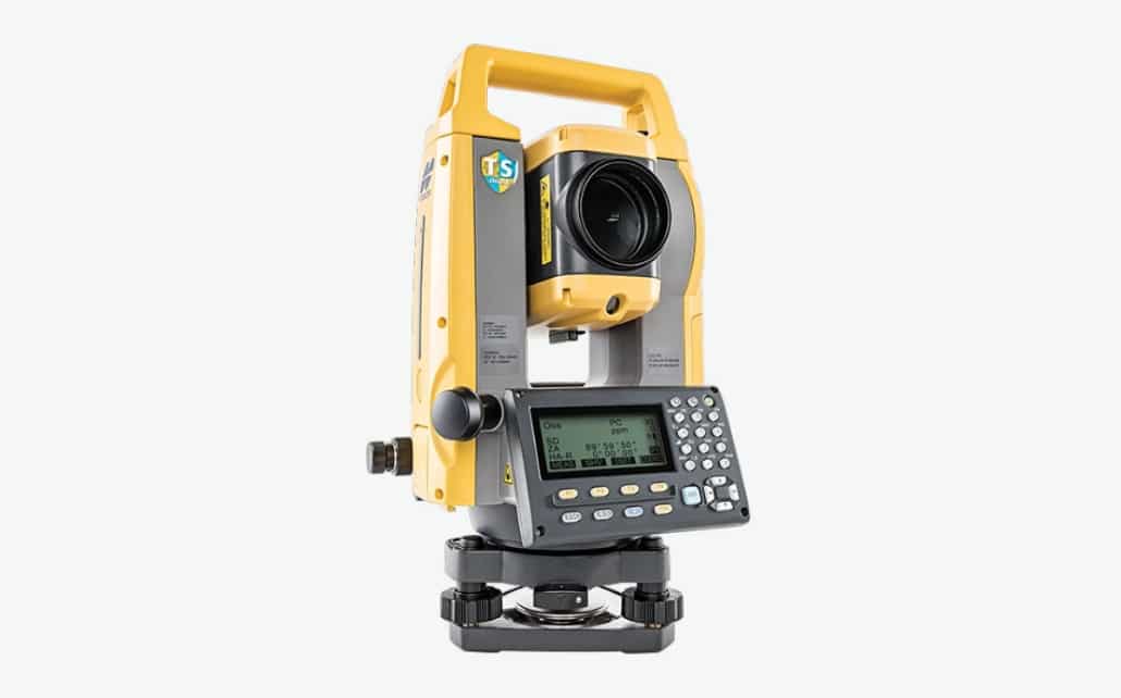
GM-100
Manual total station that is small, sleek, and incredibly durable. It features a powerful EDM unit and accurate angle encoder system.
Hybrid Positioning™
A hybrid field system that combines GNSS positioning and optical robotic measurements on rover pool, providing a highly efficient, versatile solution.
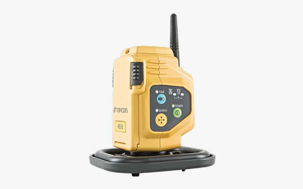
RC-5 Radio
End delays with a single tap. Easily establish prism lock in seconds with the RC-5 Radio.
Lasers, Levels, & Theodolites
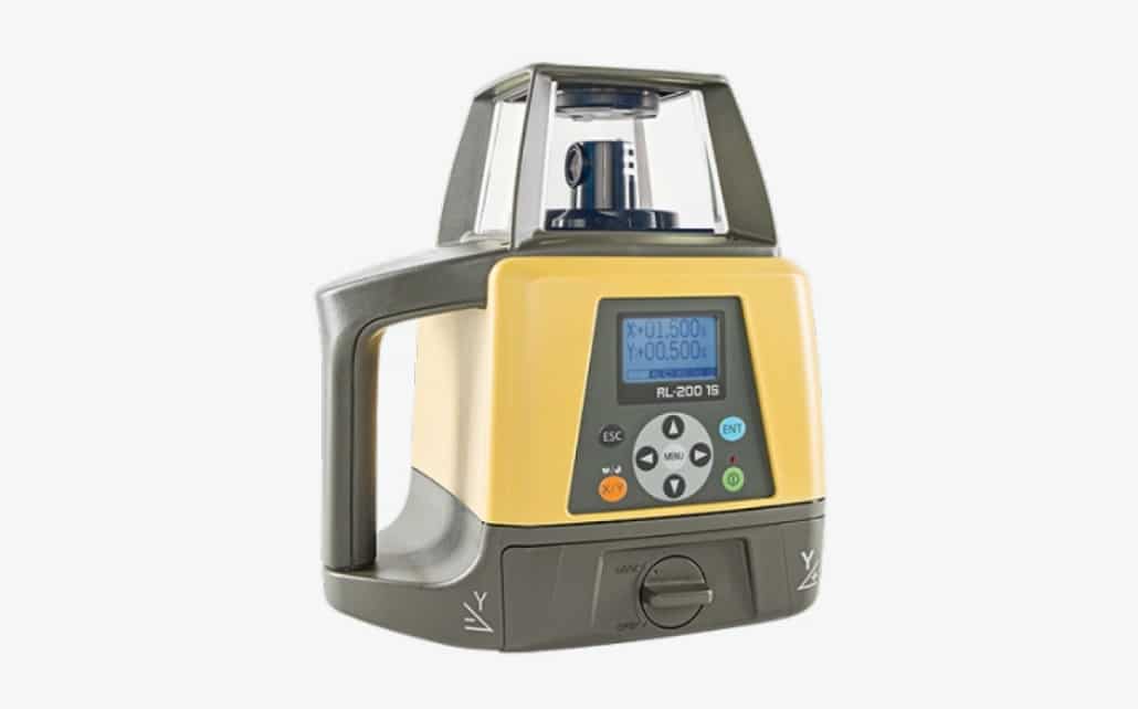
RL-200 2S
Highly accurate slop laser that allows operators to set the desired cross slope and elevation value — setting you up for a perfect grade every time.
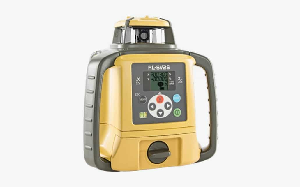
RL-SV2S
Rotating laser with 120 hours of battery life that is fit for horizontal, vertical, single, or dual slope applications.
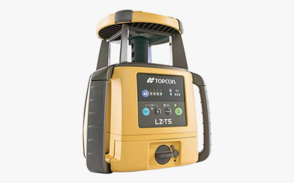
LZ-T5 mmGPS Transmitter
GNSS laser transmitter that can can be integrated with Millimeter GPS for paving, grading, and grade-checking operations.
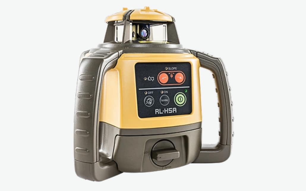
RL-H5
All-in-one, self-leveling construction laser that have manual slope capabilities and a 800-meter range operation.
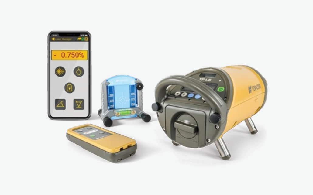
TP-L6
Compact, self-leveling pipe laser that can be monitored and controlled via an Android mobile app remote.
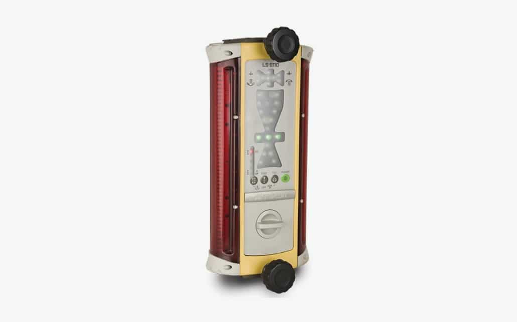
LS-B110
Machine laser receiver and remote display for indicate and machine control automatic capability.
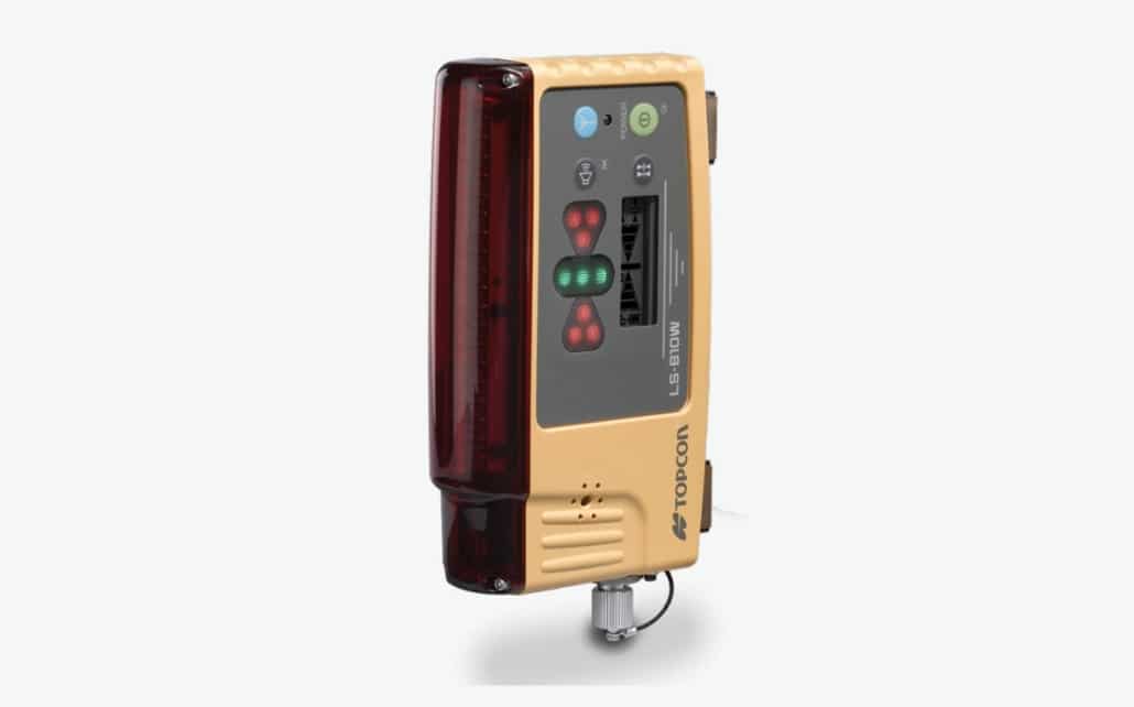
LS-B10 & LS-B10W
Handheld and machine-mounted laser receiver for grade checking and machine control grade on compact equipment.
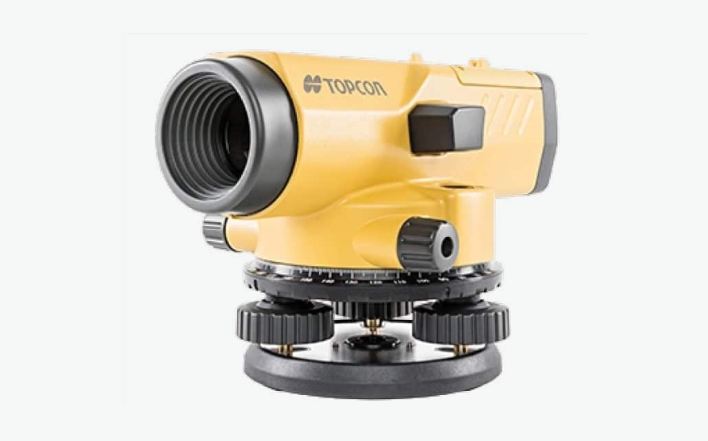
AT-B Series
Small, lightweight auto level that offers great horizontal circle visibility, a finely tuned autocollimation system, and superior gear ratios.
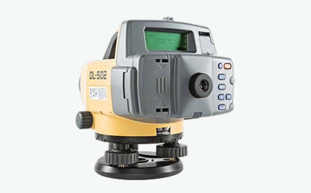
DL Series
Digital levels that uses Random-Bidirectional (RAB) staff encoding and “Wave and Read” technologies.
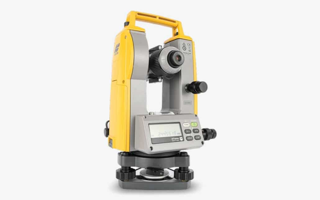
DT-300
Digital theodolite that is a lightweight, compact alignment and angular measurement device that provides up to 30 workdays of power.
Data Collection
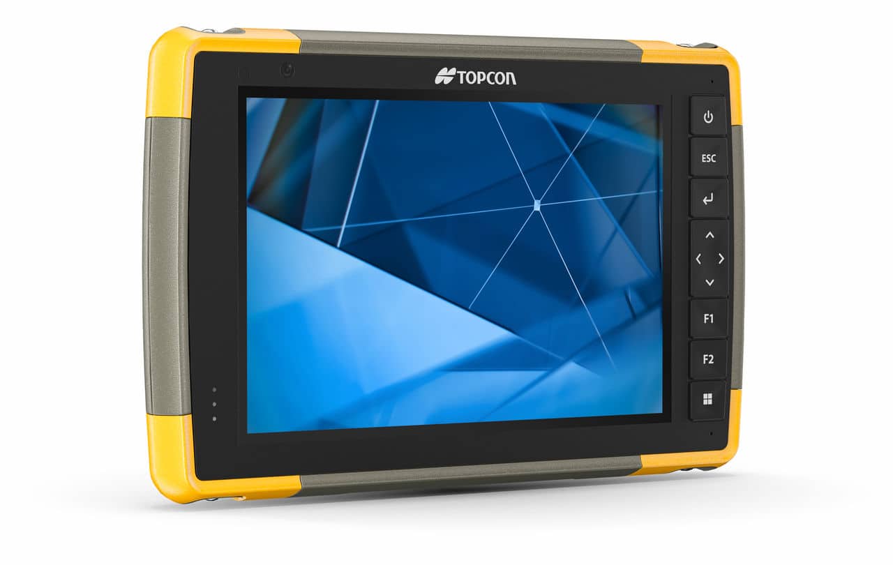
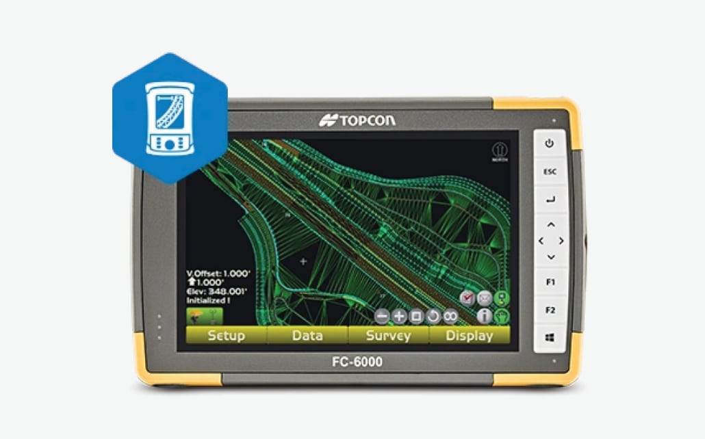
FC-6400
Multiple technologies deliver power and control starting with its handy 7-inch display specifically designed for visibility in direct sunlight, the FC-6400 rugged tablet is built with your productivity in mind.
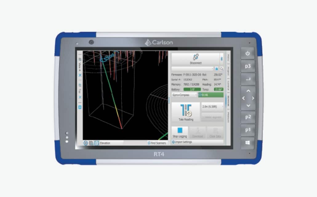
RT4
Rugged tablet designed for surveying, stakeout, construction layout and GIS mapping. Tablet is bundled with Carlson SurvPC for data collection.
Survey Software
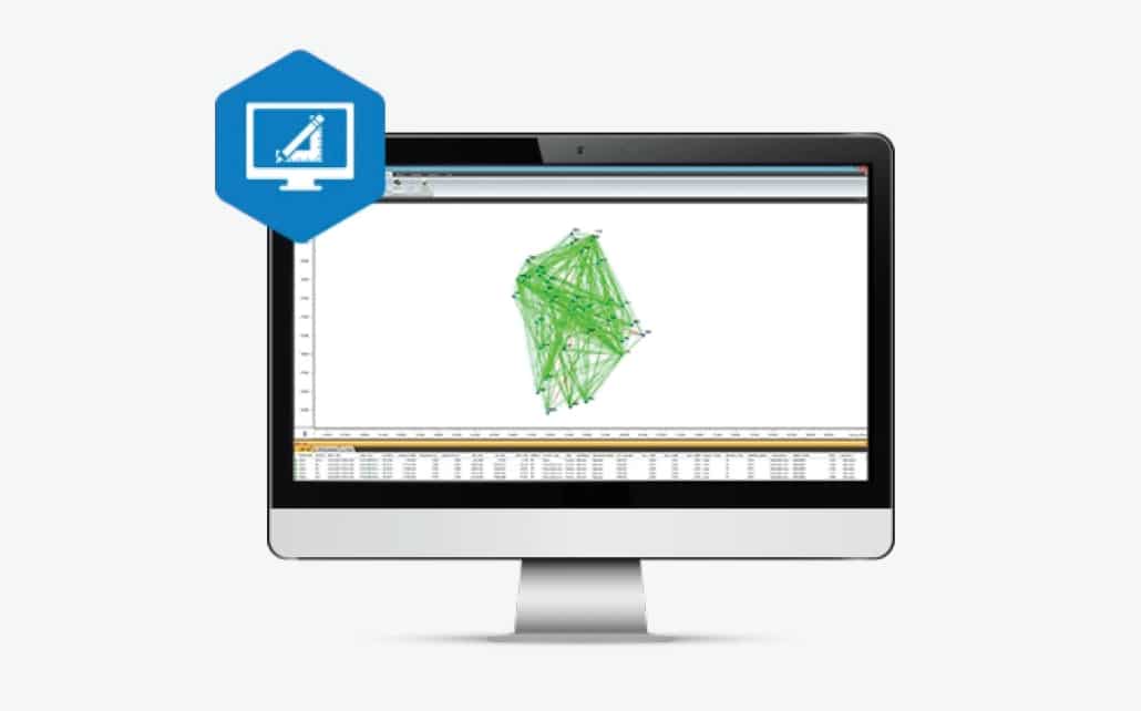
MAGNET Tools
Data processing software that streamlines the data collection workflow and enables visualization of field work through GoogleEarth, CAD view, and more.
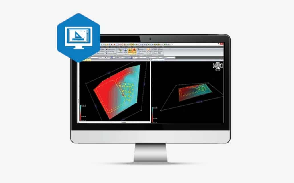
MAGNET Survey
Drafting and data processing software for processing data, creating drawing layouts, and sharing finished projects.

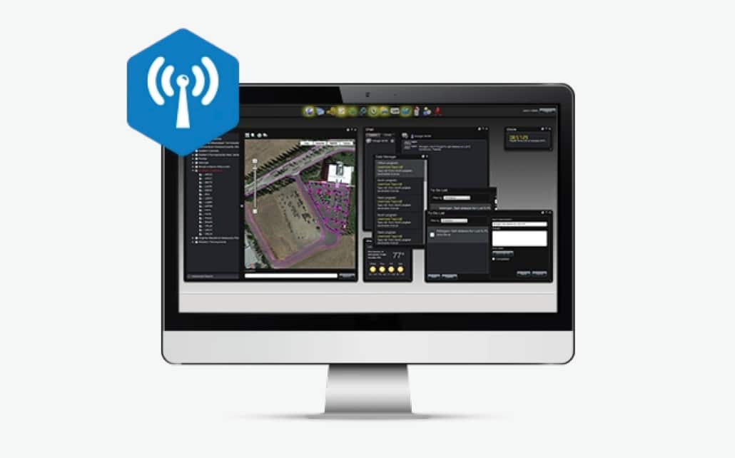
MAGNET Enterprise
A secure cloud environment that allows for easy connection and collaboration between office and field teams, including access to data maps, redline models, measurements, and more.
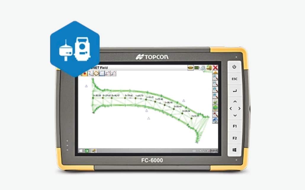
MAGNET Field
Field-to-office solution for a wide range of construction and surveying tasks. It features an intuitive user interface, field-office connectivity, and more.
Carlson SurvCE
Data collection software designed for Windows mobile (SurvCE) or Windows (SurvPC) that supports a wide range of RTK GPS and conventional and robotic total stations.
Construction Software
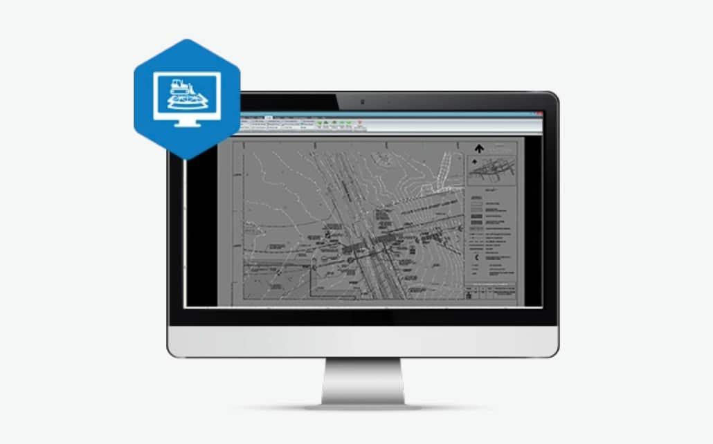
MAGNET Site
A constructible model and surveying software designed for creating machine control 3D models for any road or site project.
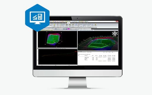
MAGNET Construction
MAGNET Site modeling software with takeoff functions to calculate true volume for cost estimates for a profitable and successful project.
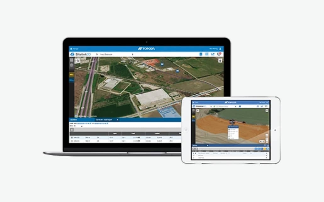
Sitelink3D v2
Web-based platform that provides managers with a collection of tools to track, monitor, and manage operations.
Pocket 3D
A handheld GNSS-based site management field software designed to collect data, connect to Sitelink 3D, and more.